Inverness, Quebec
Inverness is a municipality in the Centre-du-Québec region of the province of Quebec in Canada.
Inverness | |
|---|---|
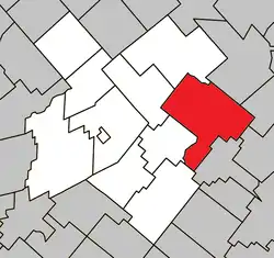
 Location within L'Érable RCM. | |
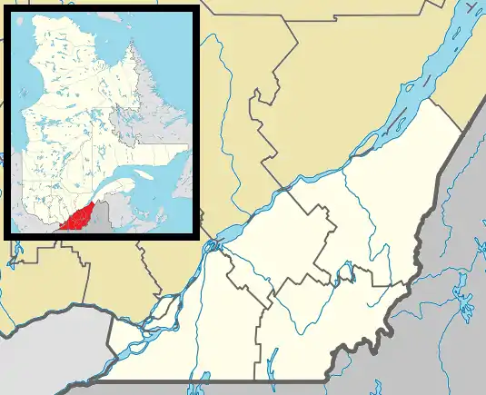
 Inverness Location in southern Quebec. | |
| Coordinates: 46°16′N 71°31′W[1] | |
| Country | |
| Province | |
| Region | Centre-du-Québec |
| RCM | L'Érable |
| Constituted | September 9, 1998 |
| Government | |
| • Mayor | Gilles St-Pierre |
| • Federal riding | Mégantic—L'Érable |
| • Prov. riding | Lotbinière |
| Area | |
| • Total | 178.20 km2 (68.80 sq mi) |
| • Land | 175.29 km2 (67.68 sq mi) |
| Population (2011)[3] | |
| • Total | 822 |
| • Density | 4.7/km2 (12/sq mi) |
| • Pop 2006-2011 | |
| • Dwellings | 427 |
| Time zone | UTC−5 (EST) |
| • Summer (DST) | UTC−4 (EDT) |
| Postal code(s) | G0S 1K0 |
| Area code(s) | 418 and 581 |
| Highways | |
| Website | www.municipalite inverness.ca |
Irishman William Bennet came to Inverness Township in 1819, but the first colony dates to 1829 with the arrival of 12 families from the Isle of Arran, Scotland. Their descendants built two churches in the village: St. Andrew's Presbyterian (1862) and the old Methodist Church (1862), now a bronze foundry.[4]
A record of the emigration from the Isle of Arran to Megantic County was written by Dugald McKenzie McKillop, the descendant of one of those who made the journey and is recorded in his book: "Annals of Megantic County, Quebec" published in 1902.[5]
References
- Reference number 347571 of the Commission de toponymie du Québec (in French)
- Geographic code 32058 in the official Répertoire des municipalités (in French)
- "(Code 2432058) Census Profile". 2011 census. Statistics Canada. 2012.
- "Megantic County Heritage Trail | Quebec Anglophone Heritage Network". www.quebecheritageweb.com. Retrieved 2019-10-10.
- McKillop, Dugald McKenzie (1966). Annals of Megantic County, Quebec. Mrs. A. Mimnaugh.
This article is issued from Wikipedia. The text is licensed under Creative Commons - Attribution - Sharealike. Additional terms may apply for the media files.