Sainte-Anne-de-la-Rochelle, Quebec
Sainte-Anne-de-la-Rochelle is a community in Quebec, Canada, situated within the Regional County Municipality of Le Val-Saint-François in the administrative region of Estrie.
Sainte-Anne-de-la-Rochelle | |
|---|---|
 | |
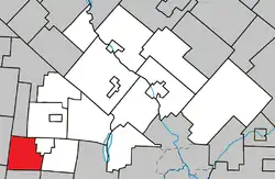 Location within Le Val-Saint-François RCM. | |
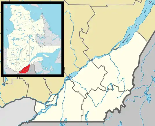 Ste-Anne-de- la-Rochelle Location in southern Quebec. | |
| Coordinates: 45°24′N 72°24′W[1] | |
| Country | |
| Province | |
| Region | Estrie |
| RCM | Le Val-Saint-François |
| Constituted | July 1, 1855 |
| Government | |
| • Mayor | J.-André Bourassa |
| • Federal riding | Shefford |
| • Prov. riding | Orford |
| Area | |
| • Total | 62.00 km2 (23.94 sq mi) |
| • Land | 61.85 km2 (23.88 sq mi) |
| Population | |
| • Total | 611 |
| • Density | 9.9/km2 (26/sq mi) |
| • Pop 2006-2011 | |
| • Dwellings | 278 |
| Time zone | UTC−5 (EST) |
| • Summer (DST) | UTC−4 (EDT) |
| Postal code(s) | J0E 2B0 |
| Area code(s) | 450 and 579 |
| Highways | |
| Website | www.steanne delarochelle.ca |
It is served by Quebec Routes 243 and 220. Route 220 has its beginning point in Sainte-Anne-de-la-Rochelle.
Demographics
Population
|
|
|
Language
Mother tongue (2011)[3]
| Language | Population | Pct (%) |
|---|---|---|
| French only | 585 | 95.9% |
| English only | 25 | 4.1% |
See also
References
- Reference number 56033 of the Commission de toponymie du Québec (in French)
- Geographic code 42050 in the official Répertoire des municipalités (in French)
- "(Code 2442050) Census Profile". 2011 census. Statistics Canada. 2012.
- Statistics Canada: 1996, 2001, 2006, 2011 census
External links
 Media related to Sainte-Anne-de-la-Rochelle at Wikimedia Commons
Adjacent Municipal Subdivisions | ||||||||||
|---|---|---|---|---|---|---|---|---|---|---|
| ||||||||||
| Cities & Towns | |
|---|---|
| Municipalities | |
| Townships | |
| Villages | |
| |
| Authority control |
|
|---|
This article is issued from Wikipedia. The text is licensed under Creative Commons - Attribution - Sharealike. Additional terms may apply for the media files.