Sam Miller Hill
Sam Miller Hill is a mountain in Sullivan County, New York. It is located northeast of Long Eddy. Cherry Ridge is located west and Hawks Nest is located southwest of Sam Miller Hill.
| Sam Miller Hill | |
|---|---|
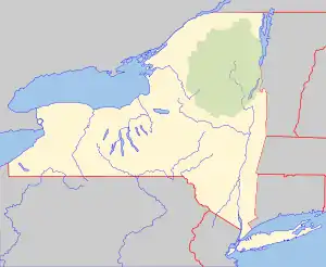 Sam Miller Hill Location of Sam Miller Hill within New York  Sam Miller Hill Sam Miller Hill (the United States) | |
| Highest point | |
| Elevation | 1,824 feet (556 m) |
| Coordinates | 41°52′27″N 75°05′17″W, 41°52′42″N 75°05′02″W [1] |
| Geography | |
| Location | NE of Long Eddy, New York, U.S. |
| Topo map | USGS Callicoon, Horton |
References
- "Sam Miller Hill". Geographic Names Information System. United States Geological Survey. Retrieved 2018-04-05.
This article is issued from Wikipedia. The text is licensed under Creative Commons - Attribution - Sharealike. Additional terms may apply for the media files.