San Mauro Forte
San Mauro Forte is a town and comune in the province of Matera, in the Southern Italian region of Basilicata.
San Mauro Forte | |
|---|---|
| Comune di San Mauro Forte | |
 Coat of arms | |
Location of San Mauro Forte 
| |
 San Mauro Forte Location of San Mauro Forte in Italy 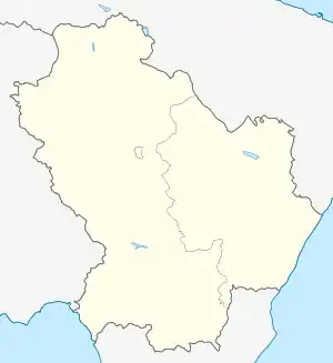 San Mauro Forte San Mauro Forte (Basilicata) | |
| Coordinates: 40°29′N 16°15′E | |
| Country | Italy |
| Region | Basilicata |
| Province | Matera (MT) |
| Government | |
| • Mayor | Francesco Diluca |
| Area | |
| • Total | 86.89 km2 (33.55 sq mi) |
| Elevation | 540 m (1,770 ft) |
| Population (December 2008)[2] | |
| • Total | 1,803 |
| • Density | 21/km2 (54/sq mi) |
| Demonym(s) | Sanmauresi |
| Time zone | UTC+1 (CET) |
| • Summer (DST) | UTC+2 (CEST) |
| Postal code | 75010 |
| Dialing code | 0835 |
| Patron saint | San Mauro abate |
| Saint day | 15 January |
| Website | Official website |
Geography
The little town is on a hill, 540 metres (1,770 ft) above sea level, in the west central part of the province. To the north are the communes of Salandra (14 km / 9 miles), Oliveto Lucano (15 km / 9 miles) and Garaguso (17 km / 11 miles). To the east is Ferrandina (31 km / 20 miles) with Craco (25 km / 15 miles) e Stigliano (31 km / 20 miles) to the south. Accettura is (14 km / 9 miles) to the south. The provincial capital, Matera is 70 km / 44 miles away, while the administrative capital of the adjacent province, Potenza, is 66 km / 41 miles away.
San Mauro Forte is included in the administrative grouping of Upland Communes of the Matera Hills
History
The place was established in the sixth century. It was probably part of Magna Graecia.
References
- "Superficie di Comuni Province e Regioni italiane al 9 ottobre 2011". Istat. Retrieved 16 March 2019.
- All demographics and other statistics from the Italian statistical institute (Istat)
| Authority control |
|
|---|