Sannieshof
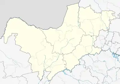
Sannieshof is a small farming town situated in North West Province of South Africa. It started as a post office to serve the farms in the district and was named in honour of the first postmaster, John Voorendijk's wife Sannie. The village is 40 km north-east of Delareyville and 38 km north-west of Ottosdal. It is also close (20 km) to Baberspan which is a water bird sanctuary and a fishing mecca.
Sannieshof | |
|---|---|
 Sannieshof  Sannieshof | |
| Coordinates: 26°32′S 25°48′E | |
| Country | South Africa |
| Province | North West |
| District | Ngaka Modiri Molema |
| Municipality | Tswaing |
| Established | 1928 |
| Area | |
| • Total | 5.42 km2 (2.09 sq mi) |
| Population (2011)[1] | |
| • Total | 11,016 |
| • Density | 2,000/km2 (5,300/sq mi) |
| Racial makeup (2011) | |
| • Black African | 89.3% |
| • Coloured | 2.1% |
| • Indian/Asian | 0.4% |
| • White | 7.7% |
| • Other | 0.5% |
| First languages (2011) | |
| • Tswana | 80.9% |
| • Afrikaans | 8.2% |
| • Xhosa | 3.4% |
| • English | 1.7% |
| • Other | 5.9% |
| Time zone | UTC+2 (SAST) |
| Postal code (street) | 2760 |
| PO box | 2760 |
| Area code | 018 |
History
The name was bestowed by John Voorendijk in 1920 who was postmaster of Lichtenburg, in honour of his wife Sannie (née De Beer), whom he married in 1904.[2] In 1928, land was sold to form a village that was named Roosville after a local politician Tielman Roos.[3]:317 The name was disliked and the town regained its original name in 1952.[3]:317
See also
References
- "Main Place Sannieshof". Census 2011.
- "Dictionary of Southern African Place Names (Public Domain)". Human Science Research Council. p. 398.
- Erasmus, B.P.J. (2014). On Route in South Africa: Explore South Africa region by region. Jonathan Ball Publishers. p. 401. ISBN 9781920289805.
This article is issued from Wikipedia. The text is licensed under Creative Commons - Attribution - Sharealike. Additional terms may apply for the media files.
.svg.png.webp)