Sant'Andrea del Garigliano
Sant'Andrea del Garigliano is a comune (municipality) in the Province of Frosinone in the Italian region Lazio, located about 130 kilometres (81 miles) southeast of Rome and about 50 km (31 mi) southeast of Frosinone.
Sant'Andrea del Garigliano | |
|---|---|
| Comune di Sant'Andrea del Garigliano | |
 Coat of arms | |
Location of Sant'Andrea del Garigliano 
| |
 Sant'Andrea del Garigliano Location of Sant'Andrea del Garigliano in Italy 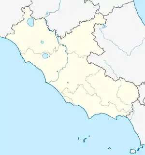 Sant'Andrea del Garigliano Sant'Andrea del Garigliano (Lazio) | |
| Coordinates: 41°22′N 13°50′E | |
| Country | Italy |
| Region | Lazio |
| Province | Frosinone (FR) |
| Government | |
| • Mayor | Giovanni Rossi |
| Area | |
| • Total | 16.9 km2 (6.5 sq mi) |
| Elevation | 176 m (577 ft) |
| Population | |
| • Total | 1,481 |
| • Density | 88/km2 (230/sq mi) |
| Demonym(s) | Santandreani |
| Time zone | UTC+1 (CET) |
| • Summer (DST) | UTC+2 (CEST) |
| Postal code | 03040 |
| Dialing code | 0776 |
| Website | Official website |
Sant'Andrea del Garigliano borders the following municipalities: Castelforte, Rocca d'Evandro, Sant'Ambrogio sul Garigliano, Sant'Apollinare, Vallemaio.
References
- "Superficie di Comuni Province e Regioni italiane al 9 ottobre 2011". Istat. Retrieved 16 March 2019.
- All demographics and other statistics: Italian statistical institute Istat.
- "Popolazione Residente al 1° Gennaio 2018". Istat. Retrieved 16 March 2019.
This article is issued from Wikipedia. The text is licensed under Creative Commons - Attribution - Sharealike. Additional terms may apply for the media files.