Sarangan, Indonesia
Sarangan is a village in Plaosan District, Magetan Regency in East Java Province. Its population is 3391.[1]:1228
Sarangan | |
|---|---|
| Coordinates: 7°40′9.4512″S 111°13′9.0336″E | |
| Country | |
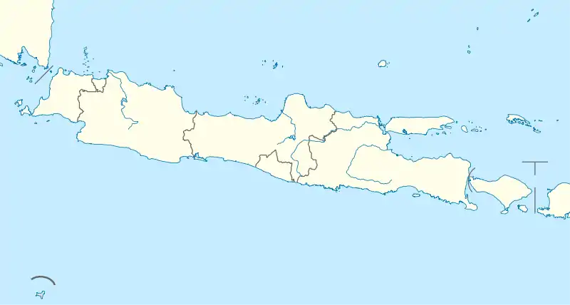
| Province | East Java |
| Regency | Magetan Regency |
| District | Plaosan District |
| Elevation | 4,639 ft (1,414 m) |
| Population (2010) | |
| • Total | 3,391[1] |
| Time zone | UTC+7 (Western Indonesia Time) |

Climate
Sarangan has a subtropical highland climate (Cfb). It has moderate rainfall from June to September and heavy to very heavy rainfall from October to May.
| Climate data for Sarangan | |||||||||||||
|---|---|---|---|---|---|---|---|---|---|---|---|---|---|
| Month | Jan | Feb | Mar | Apr | May | Jun | Jul | Aug | Sep | Oct | Nov | Dec | Year |
| Average high °C (°F) | 17.0 (62.6) |
17.2 (63.0) |
17.4 (63.3) |
17.2 (63.0) |
17.3 (63.1) |
16.7 (62.1) |
16.1 (61.0) |
16.4 (61.5) |
16.9 (62.4) |
17.5 (63.5) |
17.3 (63.1) |
17.2 (63.0) |
17.0 (62.6) |
| Daily mean °C (°F) | 13.3 (55.9) |
13.4 (56.1) |
13.7 (56.7) |
13.3 (55.9) |
13.2 (55.8) |
12.5 (54.5) |
11.6 (52.9) |
11.9 (53.4) |
12.3 (54.1) |
13.1 (55.6) |
13.7 (56.7) |
13.5 (56.3) |
13.0 (55.3) |
| Average low °C (°F) | 9.7 (49.5) |
9.6 (49.3) |
10.1 (50.2) |
9.5 (49.1) |
9.1 (48.4) |
8.4 (47.1) |
7.2 (45.0) |
7.4 (45.3) |
7.8 (46.0) |
8.8 (47.8) |
10.1 (50.2) |
9.8 (49.6) |
9.0 (48.1) |
| Average precipitation mm (inches) | 529 (20.8) |
453 (17.8) |
492 (19.4) |
312 (12.3) |
208 (8.2) |
88 (3.5) |
80 (3.1) |
56 (2.2) |
65 (2.6) |
156 (6.1) |
365 (14.4) |
428 (16.9) |
3,232 (127.3) |
| Source: Climate-Data.org[2] | |||||||||||||
References
- "Archived copy" (PDF). Archived from the original (PDF) on 2020-07-10. Retrieved 2020-07-10.CS1 maint: archived copy as title (link)
- "Climate: Sarangan". Climate-Data.org. Retrieved July 10, 2020.
This article is issued from Wikipedia. The text is licensed under Creative Commons - Attribution - Sharealike. Additional terms may apply for the media files.