Sarwar
Sarwar is a city and a sub division in Ajmer district in the Indian state of Rajasthan. Sarwar is a nagar palika and panchayat samiti also. It is part of kekri vidhansabha constituency and ajmer loksabha constituency.
Sarwar | |
|---|---|
Town | |
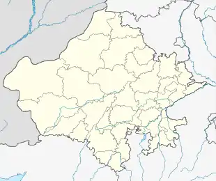 Sarwar Location in Rajasthan, India  Sarwar Sarwar (India) | |
| Coordinates: 26.07°N 75.0°E | |
| Country | |
| State | Rajasthan |
| District | Ajmer |
| Elevation | 337 m (1,106 ft) |
| Population (2011) | |
| • Total | 20,372 |
| Languages | |
| • Official | Hindi |
| Time zone | UTC+5:30 (IST) |
Geography
Sarwar is located at 26.07°N 75.0°E.[1] It has an average elevation of 337 metres (1105 feet). It is located on the banks of the river "Die", which is a tributary of the river Banas. Meaning of word "Sarwar" is an area which is covered by water sources. According to the name, there are many water bodies that are present in the surroundings of Sarwar.
Demographics
As of 2011 India census,[2] Sarwar had a population of 20,372. Males constitute 51.38% of the population and females 48.61%. Sarwar has an average literacy rate of 64.65%, lower than the national average of 74.04%: male literacy is 78.43%, and female literacy is 50.07%. In Sarwar, 16.24% of the population is under 6 years of age. Sarwar is 16 km from town kekri and 64 km from District Ajmer.
References
- Falling Rain Genomics, Inc - Sarwar
- "Census of India 2011: Data from the 2011 Census, including cities, villages and towns (Provisional)". Census Commission of India. Archived from the original on 16 June 2004. Retrieved 1 November 2008.