Sebkha el Melah
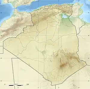
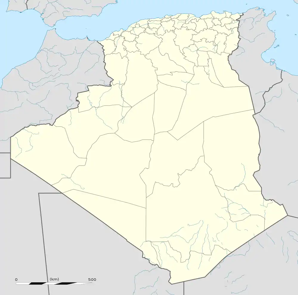
Sebkha el Melah, also known as Sebkhel el Melah or Sebkhet el Melah, is an endorheic salt lake in Béchar Province, southwestern Algeria.[2][3][4] The Oued Saoura drains into the lake.
| Sebkha el Melah | |
|---|---|
 Sebkha el Melah | |
| Location | Béchar Province, Algeria |
| Coordinates | 29°11′42″N 1°14′33″W |
| Type | Endorheic salt lake |
| Primary inflows | Oued Saoura |
| Basin countries | Algeria |
| Official name | Sebkhet El Melah |
| Designated | 12 December 2004 |
| Reference no. | 1429[1] |

The lake is located near Kerzaz, about 120 km (75 mi) southeast of Béni Abbès.
Geography
Sebkha el Melah is a salt lake that has formed in a basin in Béchar Province in southwestern Algeria, to the south of the Atlas Mountains. The rocky ridge of the Ougarta Range lies to the west and the sand dunes of the Grand Erg Occidental to the east.[5] Sebkha itself has an annual precipitation of about 20 mm (0.8 in), which is much less than the Saharan Atlas to the north (150 mm (6 in)). The lake is fed by the seasonal river Oued Saoura but most of the year the volume of water evaporated from the surface exceeds the volume of water flowing in, and a salt crust is formed. The basin has no outflow, and because the source of the water is continental rather than marine, the amount of salt deposited is limited.[6] There are two bodies of water, the upper one pond-like, with a moderate degree of salinity and a biodiverse flora and fauna, and the lower one a sabkha or salt lake, with higher salinity, salt-encrusted margins and very little vegetation.[2]
The bottom of the sabkha is usually dry and covered with a salty crust, mostly formed from halite. Periodically, heavy rains cause the Saoura to flood and water flows into the sabkha. Total dissolved solids increase as the crust partially dissolves and evaporation occurs. Some water infiltrates the clayey ground forming an impervious layer under which is an aquifer, saturated as far as sodium chloride is concerned. Evaporation of the water in the lake occurs, and after a few months, the sabkha dries up, and a new crust is formed.[7]
Ecology
Sebkha el Melah has been designated as a Ramsar site since 2004. The area of the Ramsar site is 18,947 hectares (46,820 acres), the soils are saline and the vegetation sparse. On land there are stands of tamarisk and various species of seed-bearing plants. Some agricultural activities take place, including the cultivation of date palms. Several species of reptile and amphibian are found in the locality, as well as crustaceans, fish and small mammals, and the site is of international importance because of the waterfowl that breed and raise their young here. The lakes are particularly productive because of the high temperatures experienced; more than 1% of the world populations of the ruddy shelduck (Tadorna ferruginea) and the ferruginous duck (Aythya nyroca) breed at Sebkha el Melah.[2]
References
- "Sebkhet El Melah". Ramsar Sites Information Service. Retrieved 25 April 2018.
- "Sebkhet El Melah". Ramsar. Ramsar Sites Information Service. Retrieved 2 August 2019.
- "Africa AMS Topographic Maps – Alger". Perry–Castañeda Map Collection. University of Texas. Retrieved 14 March 2013.
- "Sebkhel el Melah, Béchar, Algeria". Google Maps. Retrieved 14 March 2013.
- Philip's (1994). Atlas of the World. Reed International. pp. 98–99. ISBN 0-540-05831-9.
- Bour, Ivan (2003). "Les Évaporites" (PDF). Multimania.fr (in French). Retrieved 2 August 2019.
- Fritz, P. (2016). Handbook of Environmental Isotope Geochemistry: The Terrestrial Environment. Elsevier. p. 121. ISBN 978-1-4832-8961-8.