Segal, Kentucky
Segal is an unincorporated community in west-central Edmonson County in south-central Kentucky, United States.[1] Segal is part of the Bowling Green Metropolitan Statistical Area.
Segal | |
|---|---|
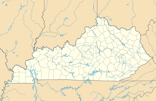 Segal Location within the state of Kentucky  Segal Segal (the United States) | |
| Coordinates: 37°12′20″N 86°23′6″W | |
| Country | |
| State | |
| Elevation | 617 ft (188 m) |
| Time zone | UTC-6 (Central (CST)) |
| • Summer (DST) | UTC-5 (CDT) |
| GNIS feature ID | 509027ref>U.S. Geological Survey Geographic Names Information System: Segal, Kentucky</ref> |
Geography
Segal is located in the west-central portion of Edmonson County, at coordinates 37°12' 20"N 86°23' 6"W, which is about 10 miles (16 km) west of Brownsville.
Transportation
The community is currently served by only one state highway, Kentucky Route 655 (KY 655), a C-shaped route which connects the general area with KY 70 at Windyville. Previously, two state highways met at this community, KY 67 and the original KY 555 (now KY 655). KY 67 was previously the highway to use for travel to Bowling Green via the now-decommissioned Honaker's Ferry (a.k.a. the Mouth of Bear Creek Ferry) from 1929 until the late 1960s.[2][3]
History
The Red Hill General Baptist Church, which is presently the only notable landmark in the community besides a local cemetery, held its first worship service in 1862. The event of the church's 150th anniversary was marked in 2012 by virtue of a homecoming theme in their annual gospel meeting.
The Segal Post Office was in operation from 1884 until 1954.[4][5]
Education
Segal is served by the Edmonson County School Board for children's education. The children in the community attended classes at the independently operated Asphalt School before it, along with all other county high schools were merged to create the Edmonson County High School in Brownsville prior to the 1959–60 academic school year.
Points of interest around Segal
- Mouth of Bear Creek Boat Landing
- Red Hill Cemetery
- Red Hill General Baptist Church
References
- “Segal Populated Place Profile / Edmonson County, Kentucky Data”. kentucky.hometownlocator.com. Retrieved October 17, 2019.
- Kentucky Transportation Cabinet (1958). Edmonson County Highway Map (PDF) (Map). 1:62500. Frankfort: Kentucky Transportation Cabinet. Retrieved October 7, 2014.
- Kentucky Transportation Cabinet (1977). Edmonson County Highway Map (PDF) (Map). 1:250000. Frankfort: Kentucky Transportation Cabinet. Retrieved October 7, 2014.
- http://webpmt.usps.gov/pmt011.cfm
- Notification Service | Post Offices. (Postal History). Retrieved June 14, 2016.
Municipalities and communities of Edmonson County, Kentucky, United States | ||
|---|---|---|
| City |  Location of Edmonson County, Kentucky | |
| Unincorporated communities | ||
| Ghost town | ||
| Footnotes | ‡This populated place also has portions in an adjacent county or counties | |
| ||