Serdini
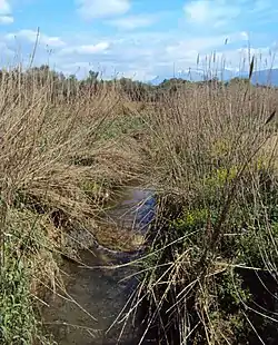
The Serdini (Greek: Σερδινή) is a small river of western Achaea, Greece. It is 15.6 km (9.7 mi) long.[1] It is a left tributary of the Peiros near Kato Alissos.
| Serdini Σερδινή | |
|---|---|
 | |
| Location | |
| Country | Greece |
| Physical characteristics | |
| Source | |
| • location | Achaea |
| Mouth | |
• location | Peiros |
• coordinates | 38.1355°N 21.5745°E |
| Length | 15.6 km (9.7 mi) |
| Basin features | |
| Progression | Peiros→ Ionian Sea |
Geography
The Serdini flows through the municipal units of Olenia and Dymi, both part of the municipality West Achaea. It rises near the village of Flokas and flows generally north along the villages Arla, Ano Soudenaiika, Avgeraiika, Agios Nikolaos and Lousika. It empties into the Peiros south of Kato Alissos.
In the fertile valley of the Serdini river, several artifacts from the Mycenaean period have been excavated, including a cemetery near Spaliaraiika.[2]
References
- Preliminary Flood Risk Assessment, Ministry of Environment, Energy and Climate Change, p. 42
- Michalis Petropoulos, "Mycenean cemetery in Spaliareika, near Lousika", A.D. Rizakis, Achaean Landscapes, Dyme and its territory. Proceedings of the International Conference Dymaia-Vouprasia, Kato Achaia, 6-8 October 1995, KERA-EIE, Athens, 2000, p. 65-92 (in Greek)"
This article is issued from Wikipedia. The text is licensed under Creative Commons - Attribution - Sharealike. Additional terms may apply for the media files.