Sierra de Aracena
Sierra de Aracena is the westernmost mountain range of the Sierra Morena, Andalusia, Spain. It is located in the northern part of Huelva Province.
| Sierra de Aracena | |
|---|---|
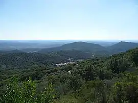 Landscape of Sierra de Aracena with the ubiquitous small village in the valley | |
| Highest point | |
| Peak | Cerro del Castaño |
| Elevation | 962 m (3,156 ft) |
| Coordinates | 33°57′35″N 6°35′7″W |
| Dimensions | |
| Length | 58 km (36 mi) NW/SE |
| Width | 15 km (9.3 mi) NE/SW |
| Geography | |
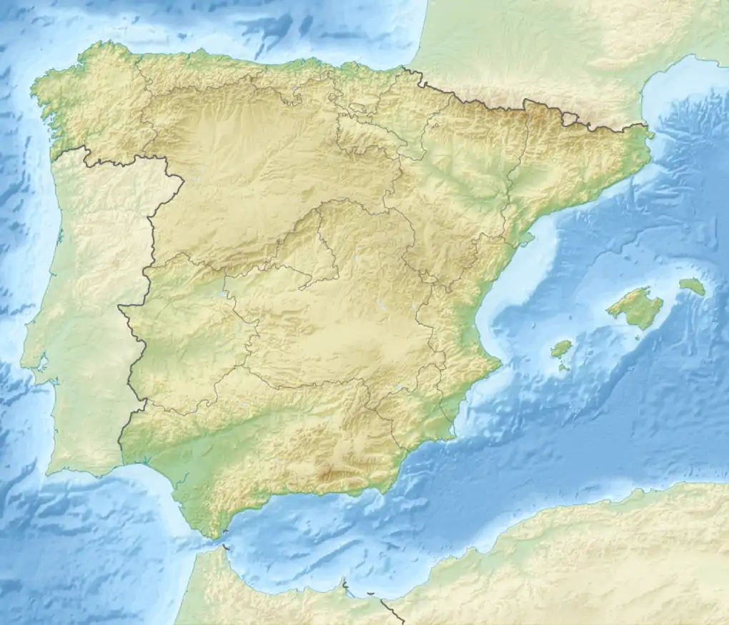 Location in Spain | |
| Location | Andalusia |
| Country | Spain |
| Range coordinates | 37°54′N 6°37′W |
| Parent range | Sierra Morena |
| Geology | |
| Orogeny | Variscan orogeny |
| Age of rock | Paleozoic |
| Type of rock | Schist, slate and quartzite |
The range is named after the town of Aracena.
Description
The Sierra de Aracena is not very high and its mountains have a gentle, rounded shape. The height of most of the summits lies between 400 and 900 m (1,300 and 3,000 ft). Its highest point is 962 m (3,156 ft) high Cerro del Castaño.[1] Other notable summits are Cerro de San Cristóbal 917 m (3,009 ft) and Cerro de Santa Bárbara 814 m (2,671 ft), the latter located close to Cortegana. The Odiel and Murtigas are the main rivers in the area of the range.[2]
The climate is relatively humid for Andalusian standards and there is a small village in most of the valleys. The undisturbed slopes of the mountains are mostly covered in forest, which is made up of Chestnut, Holm Oak and Cork Oak trees.[3]
Protected areas
The Sierra de Aracena and Picos de Aroche Natural Park is located in the area of the range.
References
- Mendikat - Castaño/Riscos Altos ( 960 m )
- Park entry at Regional Government official site
- Sierra de Aracena (in German)
External links
 Media related to Sierra de Aracena at Wikimedia Commons
- Parque natural de Sierra de Aracena y Picos de Aroche