Sierra de Cogollos
The Sierra de Cogollos is a mountain range of the Baetic System in Granada Province, Andalusia, Spain.
| Sierra de Cogollos | |
|---|---|
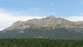
 View of the Sierra de Cogollos with its highest point, the Majalijar | |
| Highest point | |
| Peak | Peñón del Majalijar |
| Elevation | 1,889 m (6,198 ft) |
| Coordinates | 37°17′30″N 03°31′40″W |
| Dimensions | |
| Length | 9 km (5.6 mi) NE/SW |
| Width | 2.5 km (1.6 mi) SE/NW |
| Geography | |
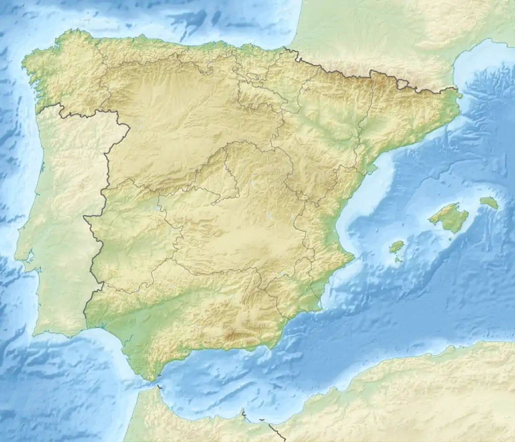
 Sierra de Cogollos Location in Spain | |
| Location | Granada Province, Andalusia |
| Country | Spain |
| Parent range | Subbaetic System |
| Geology | |
| Age of rock | Triassic and Jurassic |
| Mountain type | Limestone |

The range is located to the northeast of Granada city. Its highest point is the 1,889 m high Peñón del Majalijar peak.[1]
Geography
The Sierra de Cogollos extends between the Vega de Granada valley to the west and the Axarquía in the east. To the north the narrow Blanco River valley separates it from the Sierra Arana and to the south, another narrow valley, carved by the Bermejo River marks the limit with the lower Sierra de la Yedra range. The northeastern sector of the Sierra de Cogollos merges with Sierra Arana.
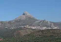
This mountain range includes the Peñón de la Mata, a limestone mountain topped by a massive rocky outcrop that is 1,669 metres (5,476 ft) in height and that towers above Cogollos Vega town. Peñón del Majalijar, the ranges's highest summit is located at the other end of the range.[2] The Sierra de Cogollos is mostly included within the municipal term of Cogollos Vega, with a little part within Huétor Santillán at its eastern end.[3]
Protected areas
The Sierra de Cogollos, along with the neighboring ranges of Sierra de la Alfaguara, Sierra de Huétor, Sierra de Diezma, Sierra de Beas, as well as the southern part of the Sierra de Arana,[4] is a protected area under the name Sierra de Huétor and la Alfaguara Natural Park (Parque Natural de la Sierra de Huétor y la Alfaguara).[5]
Geology
Geologically the Sierra de Cogollos belongs to the Baetic System and is made up mainly of sedimentary rocks from the Triassic, Jurassic and Cretaceous.[5]
References
- Majalijar
- Página descriptiva del Parque Natural de la Sierra de Huétor y la Alfaguara Archived 2013-12-14 at the Wayback Machine
- "Forests walks and snowshoe trails in the Sierra de Huetor north of Granada". Sierra Nevada News. March 26, 2012. Archived from the original on March 29, 2012. Retrieved 2012-03-31.
- Relieve - Sierra de Huétor
- Francisco Valle, Consuelo Díaz de la Guardia. "Parque Natural de la Sierra de Huétor y la Alfaguara". Waste. Retrieved 2012-03-31.
External links
 Media related to Sierra de Cogollos at Wikimedia Commons
- Entorno: Parque natural Sierra de Huétor, Granada
- Parque natural de la Sierra de Huétor