Silberhorn (Liechtenstein)
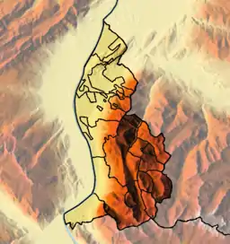
Silberhorn or Hubel is a mountain in Liechtenstein in the Rätikon range of the Eastern Alps close to the border with Switzerland, with a height of 2,150 metres (7,050 ft).
| Silberhorn | |
|---|---|
 Silberhorn | |
| Highest point | |
| Elevation | 2,150 m (7,050 ft) |
| Coordinates | 47°05′14.7″N 9°36′20.1″E |
| Geography | |
| Location | Liechtenstein |
| Parent range | Rätikon, Alps |
References
- Feldkirch - Vaduz (Map). 1:50000. Wander, Bike- und Skitourenkarte. Cartography by Kompass-Karten GmbH. Kompass. 2007.
- Schesaplana (Map). 1:25000. Landeskarte der Schweiz. swisstopo. 2004.
This article is issued from Wikipedia. The text is licensed under Creative Commons - Attribution - Sharealike. Additional terms may apply for the media files.