Slievemore
Slievemore (Irish: Sliabh Mór) is the second highest peak on Achill Island after Croaghaun, in County Mayo, Ireland. Its elevation is 671 m (2,201 ft).
| Slievemore | |
|---|---|
| Sliabh Mór | |
 Slievemore from Dugort | |
| Highest point | |
| Elevation | 671 m (2,201 ft) |
| Prominence | 582 m (1,909 ft) |
| Parent peak | Croaghaun |
| Listing | Marilyn, Hewitt |
| Naming | |
| English translation | big mountain |
| Language of name | Irish |
| Pronunciation | Irish: [ˈʃliːvmor] |
| Geography | |
 Slievemore Location in Ireland÷ | |
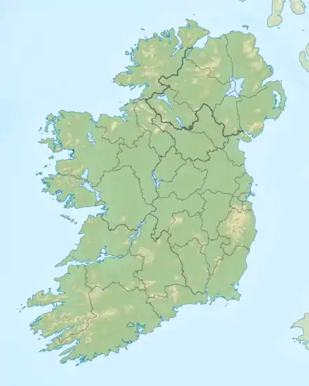
| Location | Mayo, Republic of Ireland |
| Parent range | Achill Island |
| OSI/OSNI grid | F650086 |
| Topo map | OSi Discovery 30 |
Archaeology
Achill Archaeological Field School is based at the Achill Archaeology Centre in Dooagh. It was founded in 1991 and is a training school for students of archaeology and anthropology. The school is involved in a study of the prehistoric and historic landscape at Slievemore, incorporating a research excavation at a number of sites within the Deserted Village of Slievemore. The Deserted Village Project started in 1991 with the research objective of completing a thorough archaeological survey of all sites and monuments (prehistoric and historic) that make up the diverse and significant archaeological landscape of Slievemore. Slievemore is rich in archaeological monuments that span a 5000-year period from the Neolithic until at least the 1850s.[1]
References
- "Achill Archaeological Field School 2009". Achill Archaeological Field School. Retrieved 7 March 2009.
External links
See also
- List of mountains in Ireland
Mountains and hills of Connacht | |||||||
|---|---|---|---|---|---|---|---|
List of mountains in Ireland | |||||||
| Achill Island | 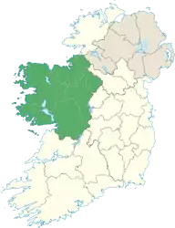 | ||||||
| Dartry Mountains | |||||||
| Maumturks | |||||||
| Mweelrea Mountains | |||||||
| Nephin Range | |||||||
| Ox Mountains | |||||||
| Partry Mountains | |||||||
| Sheeffry Range | |||||||
| Twelve Bens |
| ||||||
| Others | |||||||