Sobieski, Wisconsin
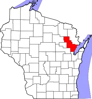
Sobieski, Wisconsin is an unincorporated census-designated place in Oconto County in northeastern Wisconsin, United States.[1][2] It is located within the Town of Little Suamico. As of the 2010 census, its population was 259.[3] It is part of the Green Bay Metropolitan Statistical Area. The Little Suamico Town Hall is located in Sobieski, just east of the Escanaba and Lake Superior Railroad.
Sobieski | |
|---|---|
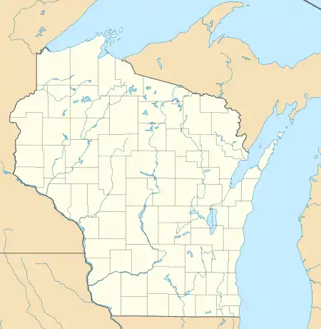
 Sobieski Location within the state of Wisconsin | |
| Coordinates: 44°43′15″N 88°4′19″W | |
| Country | United States |
| State | Wisconsin |
| County | Oconto |
| Area | |
| • Total | 1.259 sq mi (3.26 km2) |
| • Land | 1.259 sq mi (3.26 km2) |
| • Water | 0 sq mi (0 km2) |
| Population (2010) | |
| • Total | 259 |
| • Density | 210/sq mi (79/km2) |
| Time zone | UTC-6 (Central (CST)) |
| • Summer (DST) | UTC-5 (CDT) |
| Area code(s) | 920 |
Sobieski is located along County Trunk Highway S and Cross Road. Sandalwood Road and Krause Road also enter the community. The Little Suamico River flows just south of the St. Maximilian parish cemetery. County S intersects with U.S. Route 141 about a half-mile east of Sobieski.
References
- "Sobieski, Wisconsin". Geographic Names Information System. United States Geological Survey.
- Sobieski, Wisconsin
- "U.S. Census website". U.S. Census Bureau. Retrieved 20 April 2011.
This article is issued from Wikipedia. The text is licensed under Creative Commons - Attribution - Sharealike. Additional terms may apply for the media files.
