Sokole, Pomeranian Voivodeship
Sokole [sɔˈkɔlɛ] is a village in the administrative district of Gmina Czarne, within Człuchów County, Pomeranian Voivodeship, in northern Poland.[1] It lies approximately 4 kilometres (2 mi) south-east of Czarne, 26 km (16 mi) west of Człuchów, and 134 km (83 mi) south-west of the regional capital Gdańsk. It is located within the historic region of Pomerania.
Sokole | |
|---|---|
Village | |
 Sokole 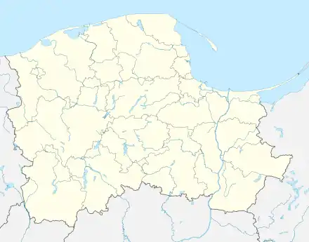 Sokole | |
| Coordinates: 53°39′24″N 16°58′44″E | |
| Country | |
| Voivodeship | Pomeranian |
| County | Człuchów |
| Gmina | Czarne |
| Population | 121 |
| Time zone | UTC+1 (CET) |
| • Summer (DST) | UTC+2 (CEST) |
| Vehicle registration | GCZ |
The village has a population of 121.
Sokole was a royal village of the Polish Crown, administratively located in the Człuchów County in the Pomeranian Voivodeship.[2]
References
- "Central Statistical Office (GUS) - TERYT (National Register of Territorial Land Apportionment Journal)" (in Polish). 2008-06-01.
- Marian Biskup, Andrzej Tomczak, Mapy województwa pomorskiego w drugiej połowie XVI w., Toruń, 1955, p. 82 (in Polish)

This article is issued from Wikipedia. The text is licensed under Creative Commons - Attribution - Sharealike. Additional terms may apply for the media files.