Sorobasso
Sorobasso is a village and commune in the Cercle of Koutiala in the Sikasso Region of southern Mali. The commune covers an area of 133 square kilometers and includes 5 villages.[3] In the 2009 census it had a population of 4,884.[2] The village of Sorobasso, the administrative centre (chef-lieu) of the commune, is 30 km northeast of Koutiala on the Route Nationale 13 that links Koutiala with San.
Sorobasso | |
|---|---|
Commune and village | |
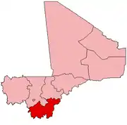
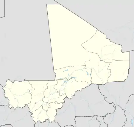 Sorobasso Location in Mali | |
| Coordinates: 12°31′15″N 5°15′16″W | |
| Country | |
| Region | Sikasso Region |
| Cercle | Koutiala Cercle |
| Area | |
| • Total | 133 km2 (51 sq mi) |
| Elevation | 299 m (981 ft) |
| Population (2009)[2] | |
| • Total | 4,884 |
| • Density | 37/km2 (95/sq mi) |
| Time zone | UTC+0 (GMT) |
References
- Common and Fundamental Operational Datasets Registry: Mali, United Nations Office for the Coordination of Humanitarian Affairs. commune_mali.zip (Originally from the Direction Nationale des Collectivités Territoriales, République du Mali)
- Resultats RGPH 2009 (Région de Sikasso) (PDF) (in French), République de Mali: Institut National de la Statistique, archived (PDF) from the original on 19 September 2012.
- Communes de la Région de Sikasso (PDF) (in French), Ministère de l’administration territoriale et des collectivités locales, République du Mali, archived (PDF) from the original on 19 September 2012.
External links
- Plan de Sécurité Alimentaire Commune Rurale de Sorobasso 2006-2008 (PDF) (in French), Commissariat à la Sécurité Alimentaire, République du Mali, USAID-Mali, 2006.
This article is issued from Wikipedia. The text is licensed under Creative Commons - Attribution - Sharealike. Additional terms may apply for the media files.
