South Bekasi
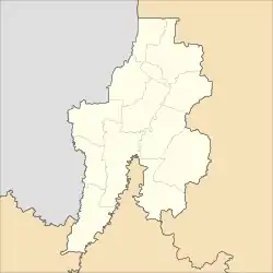
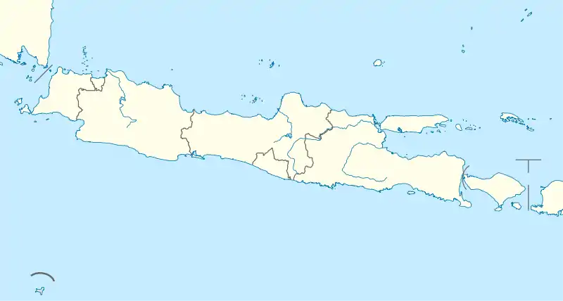
South Bekasi (Indonesian: Bekasi Selatan) is one of the twelve districts (kecamatan) within the municipality of Bekasi, in Jabodetabek (Jakarta's metropolitan area) on the island of Java, Indonesia. The district covers an area of 1,605.40 hectares (3,967 acres), and at the 2010 Census had a population of 203,654;[1] the latest official estimate (as of mid 2018) gave a population of 232,172.[2] Administratively it is divided into five administrative villages (kelurahan): Jaka Mulya (Jakamulya) (273 Ha), Jaka Setia (Jakasetia) (330 Ha), Kayuringin Jaya (368 Ha), Marga Jaya (Margajaya) (209 Ha), and Pekayon Jaya (425 Ha).[3] Public schools were started in the district in 1994.[4] As of 2013 all of the villages had health centres except for Jaka Setia.[5]
South Bekasi
Bekasi Selatan | |
|---|---|
| Coordinates: 6°15′20″S 106°58′07″E | |
| Country | Indonesia |
| Province | West Java |
| City | Bekasi |
| Area | |
| • Total | 16.054 km2 (6.198 sq mi) |
| Time zone | UTC+7 (IWST) |
| Area code | (+62) 21 |
| Vehicle registration | B |
| Villages | 5 |
| Website | kec-bekasiselatan |

Geography
South Bekasi lies in the lowlands with elevations from 0 to 25 metres. The area is flat lying with an average slope of 2%, and is subject to flooding during and after heavy rains.[6]
References
- Biro Pusat Statistik, Jakarta, 2011.
- Badan Pusat Statistik, Jakarta, 2020.
- Badan Pusat Statistik, Jakarta, 2020.
- Badan Pusat Statistik, Jakarta, 2014.
- Badan Pusat Statistik, Jakarta, 2014.
- Badan Pusat Statistik, Jakarta, 2014.
External links
- "Profile of South Bekasi District" (in Indonesian). Bagian Telematika Sekretariat Daerah Kota Bekasi. Archived from the original on 4 April 2014.
- (in Indonesian) Toko Kaca Aluminium Di Bekasi
- (in Indonesian) Jasa SEO Bekasi