Spanish Town railway station
Spanish Town railway station opened in 1845 and closed in 1992 when all passenger services in Jamaica abruptly ceased.[1] It provided rail services to Kingston and Montego Bay, Port Antonio, Ewarton and New Works. It was 11.75 miles (18.91 km) from the Kingston terminus.[2] It is on the list of designated National Heritage Sites in Jamaica.
Spanish Town | |
|---|---|
| Coordinates | 17.990310°N 76.955355°W |
| Owned by | Jamaica Railway Corporation |
| Line(s) | Kingston to Montego Bay main line Spanish Town to Ewarton branch line Bog Walk to Port Antonio branch line Linstead to New Works branch line |
| Platforms | Single, two sided platform |
| Tracks | Two |
| History | |
| Opened | 1845 |
| Closed | 1992-10[1] |
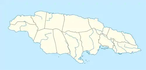
| Location | |
 Spanish Town | |
Architecture
The station was built in 1845 in Jamaica Georgian style from brick on a stone base.[3] The roof overhang is supported by timber posts in wall mounted cast iron brackets on its northern side and by wall mounted timber brackets on its southern side.[3] It has sash windows, solid recessed panel doors and a long zinc hip roof.[3]
In 2003 it was reported as being in "very poor condition" and "in need of major repairs".[4]
Track layout
In addition to the station and its single, twin sided platform there were sidings, an engine shed and a junction between the Kingston to Montego Bay main line and the Spanish Town to Ewarton branch.[5]
Fares
In 1910 the third class fare from Spanish Town to Kingston was 1/- (one shillings); first class was about double.[6]
See also
References
- "The rise and fall of railways in Jamaica, 1845-1975". Journal of Transport History: 18. March 2003.
- "Table 3.5 Mileage for JRC Stations, Halts & Sidings in relation to the Kingston Railway Terminus" (PDF). Annual Transport Statistics Report: Jamaica in Figures 2003-2004. Ministry of Transport and Works. July 2005. Archived from the original (PDF) on 15 March 2013.
- "Spanish Town Railway Station". Jamaica National Heritage Trust. Archived from the original on 29 June 2011. Retrieved 30 March 2019.
- "Table 3.4 Location and Condition of Railway Stations" (PDF). Annual Transport Statistics Report: Jamaica in Figures 2003-2004. Ministry of Transport and Works. July 2005. Archived from the original (PDF) on 15 March 2013.
- UK Directorate of Overseas Surveys 1:50,000 map of Jamaica, Sheet L (1966).
- "1910 Directory". Jamaican Family Search Genealogy Research Library. 2006.