St. François Xavier, Manitoba
St. François Xavier is an unincorporated urban centre located in southern Manitoba, Canada. It is located about 15 km west of the city of Winnipeg on the Assiniboine River.
St. François Xavier | |
|---|---|
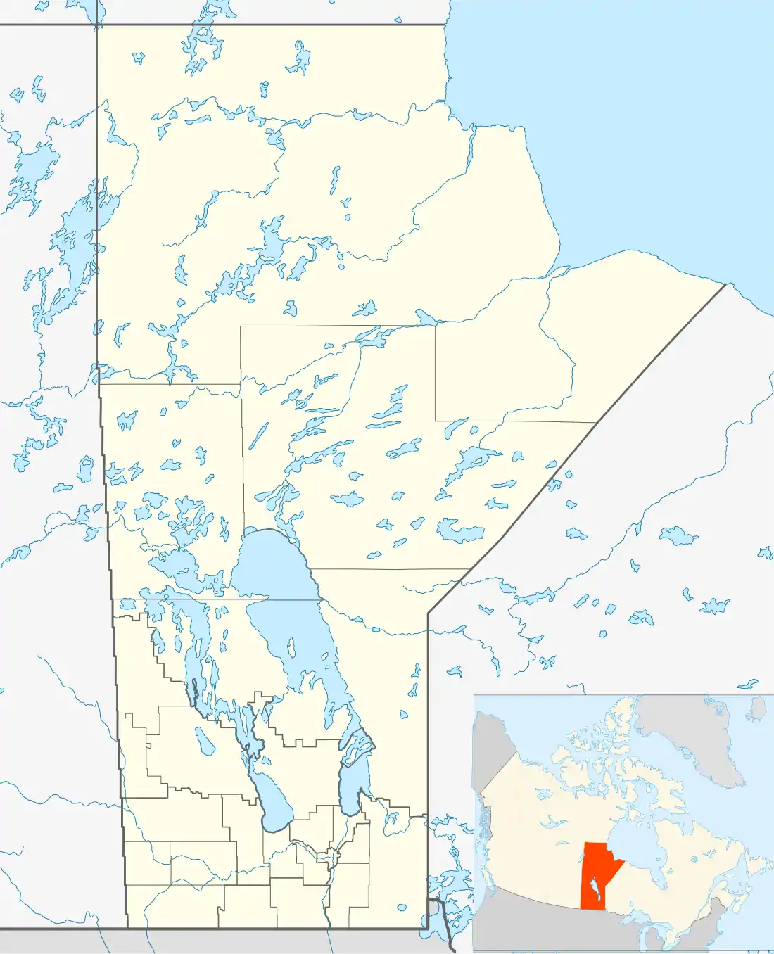 St. François Xavier Location of St. François Xavier in Manitoba | |
| Coordinates: 49°54′46″N 97°32′30″W | |
| Country | |
| Province | |
| Region | Winnipeg Capital Region |
| Census Division | No. 10 |
| Founded | 1824 |
| Post office established | 1871 |
| Area | |
| • Total | 3.37 km2 (1.30 sq mi) |
| Population | |
| • Total | 574 |
| • Density | 170.2/km2 (441/sq mi) |
| Time zone | UTC−6 (CST) |
| • Summer (DST) | UTC−5 (CDT) |
| Forward sortation area | R4L |
| Area code(s) | 204 |
History
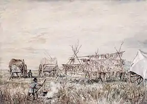
St. François Xavier had various names including White Horse Plains (La Prairie du Cheval Blanc) and Grantown after its founder Cuthbert Grant. Cuthbert Grant arrived in 1824 and was soon joined by many Métis families.[2] He had led the Métis in the Battle of Seven Oaks.
The St François Xavier area was home to several different First Nation tribes like the Cree and the Dakota due to the lands in the area that provided for a rich harvest of buffalo and a number of other animals.[3] The Métis had a noticeable role in the municipality and throughout the province.
In 1851, Father Louis-François Richer Laflèche accompanied the Métis buffalo hunters from the parish of St. François Xavier on one of their annual hunts on the prairies. The hunting group, led by Jean Baptiste Falcon, son of Pierre Falcon (a Métis songwriter),[4] was made up of 67 men, a number of women who came to prepare the meat, some small children and 200 carts. In North Dakota they encountered a band of Sioux. Laflèche dressed only in a black cassock, white surplice, and stole, directed with the camp commander Jean Baptiste Falcon a miraculous defence against 2,000 Sioux combatants, using a crucifix at the Battle of Grand Coteau (North Dakota). After a siege of two days (July 13 and 14), the Sioux withdrew, convinced that the Great Spirit protected the Métis.[5][6]
The St. François-Xavier post office was opened in 1871 and closed in 1975.[7]
Demographics
St. François Xavier is classified as an unincorporated urban centre and is a designated place in the Canada Census. In 2011, it had a population of 1,240 which was down 8.5% from 2006. The land area was 3.37 km2.[8] As of the 2016 Census, the population was 1,411.[9]
Notable people buried at the St. Francois Xavier Roman Catholic Church and Cemetery
See also
References
- "Population and dwelling counts, for Canada and census subdivisions (municipalities), 2011 and 2006 censuses". Statistics Canada, 2011 Census. 2014-04-28. Retrieved 2014-08-02.
- "Memorable Manitobans: Cuthbert James Grant (1793-1854)". Manitoba Historical Society by William Morton. Retrieved 2014-04-27.
- "Rural Municipality of St. François Xavier | About". www.rm-stfrancois.mb.ca. Retrieved 2019-09-26.
- Barkwell, Lawrence J. "Jean Baptiste "Che-ma-na" Falcon. (b.1826)". Retrieved 2014-01-05.
- "The Battle at the Grand Coteau: July 13 and 14, 1851". Manitoba Historical Society by William Morton. Retrieved 2013-10-04.
- "Battle of Grand Coteau: Letter by Father Lafleche". Published by Lawrence J. Barkwell. Retrieved 2013-10-04.
- National Archives, Archivia Net. "Post Offices and Postmasters (St. François-Xavier)". Retrieved 2013-04-27.
- "Canada Census 2011 (community profiles)". Retrieved 2013-10-18.
- Goldsborough, Gordon (2018). "Manitoba Communities: St. Francois Xavier (Rural Municipality)". Manitoba Historical Society.
- "Historic Sites of Manitoba: St. Francois Xavier Roman Catholic Church and Cemetery (St. Francois Xavier, RM of St. Francois Xavier)". www.mhs.mb.ca. Retrieved 2019-11-23.
- Geographic Names of Manitoba (pg. 238) - the Millennium Bureau of Canada
External links
- Historic Sites of Manitoba: White Horse Monument
- RM of St. François Xavier (Official website)
- Historical Sites (RM of St. François Xavier)
Division No. 10, Manitoba (Whitehorse Plains) | ||
|---|---|---|
| Rural municipalities | 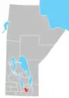 | |
| Unincorporated communities | ||
