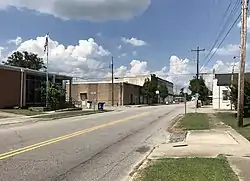
Stantonsburg, North Carolina
Stantonsburg is a town in Wilson County, North Carolina, United States. It is named for James Stanton V. The population was 784 at the 2010 census.
Stantonsburg, North Carolina | |
|---|---|
 | |
| Motto(s): "The best Little town in North Carolina" | |
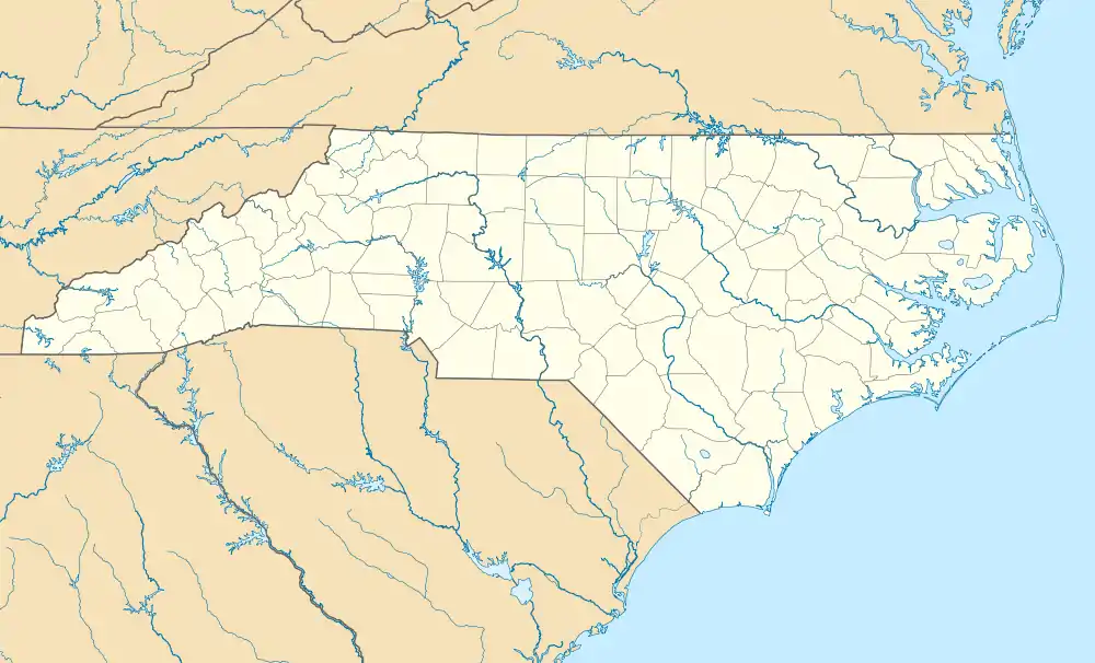 Stantonsburg, North Carolina Location within the state of North Carolina | |
| Coordinates: 35°36′22″N 77°49′16″W | |
| Country | United States |
| State | North Carolina |
| County | Wilson |
| Area | |
| • Total | 0.59 sq mi (1.52 km2) |
| • Land | 0.59 sq mi (1.52 km2) |
| • Water | 0.00 sq mi (0.00 km2) |
| Elevation | 85 ft (26 m) |
| Population (2010) | |
| • Total | 784 |
| • Estimate (2019)[2] | 779 |
| • Density | 1,324.83/sq mi (511.46/km2) |
| Time zone | UTC-5 (Eastern (EST)) |
| • Summer (DST) | UTC-4 (EDT) |
| ZIP code | 27883 |
| Area code(s) | 252 |
| FIPS code | 37-64560[3] |
| GNIS feature ID | 1022777[4] |
History
The W. H. Applewhite House, Edmondson-Woodward House, and Ward-Applewhite-Thompson House were listed on the National Register of Historic Places in 1986.[5]
Geography
According to the United States Census Bureau, the town has a total area of 0.5 square miles (1.3 km2), all of it land.
Demographics
| Historical population | |||
|---|---|---|---|
| Census | Pop. | %± | |
| 1880 | 72 | — | |
| 1910 | 204 | — | |
| 1920 | 424 | 107.8% | |
| 1930 | 607 | 43.2% | |
| 1940 | 595 | −2.0% | |
| 1950 | 627 | 5.4% | |
| 1960 | 897 | 43.1% | |
| 1970 | 869 | −3.1% | |
| 1980 | 920 | 5.9% | |
| 1990 | 782 | −15.0% | |
| 2000 | 726 | −7.2% | |
| 2010 | 784 | 8.0% | |
| 2019 (est.) | 779 | [2] | −0.6% |
| U.S. Decennial Census[6] | |||
At the 2000 census there were 726 people, 305 households, and 207 families in the town. The population density was 1,370.4 people per square mile (528.9/km2). There were 334 housing units at an average density of 630.4 per square mile (243.3/km2). The racial makeup of the town was 55.65% White, 41.18% African American, 2.89% from other races, and 0.28% from two or more races. Hispanic or Latino of any race were 3.17%.[3]
Of the 305 households 25.6% had children under the age of 18 living with them, 47.5% were married couples living together, 14.4% had a female householder with no husband present, and 32.1% were non-families. 28.5% of households were one person and 15.1% were one person aged 65 or older. The average household size was 2.38 and the average family size was 2.91.
The age distribution was 21.6% under the age of 18, 7.6% from 18 to 24, 27.1% from 25 to 44, 24.1% from 45 to 64, and 19.6% 65 or older. The median age was 42 years. For every 100 females, there were 97.3 males. For every 100 females age 18 and over, there were 85.9 males.
The median household income was $31,167 and the median family income was $38,906. Males had a median income of $28,203 versus $21,806 for females. The per capita income for the town was $13,585. About 6.3% of families and 11.6% of the population were below the poverty line, including 15.9% of those under age 18 and 17.9% of those age 65 or over.
References
- "2019 U.S. Gazetteer Files". United States Census Bureau. Retrieved July 27, 2020.
- "Population and Housing Unit Estimates". United States Census Bureau. May 24, 2020. Retrieved May 27, 2020.
- "U.S. Census website". United States Census Bureau. Retrieved 2008-01-31.
- "US Board on Geographic Names". United States Geological Survey. 2007-10-25. Retrieved 2008-01-31.
- "National Register Information System". National Register of Historic Places. National Park Service. July 9, 2010.
- "Census of Population and Housing". Census.gov. Retrieved June 4, 2015.
Municipalities and communities of Wilson County, North Carolina, United States | ||
|---|---|---|
| City | 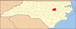 | |
| Towns | ||
| Unincorporated communities | ||
| Footnotes | ‡This populated place also has portions in an adjacent county or counties | |
| ||
| Authority control |
|---|