Sunny Side, Georgia
Sunny Side is a city in Spalding County, Georgia, United States. The population was 142 at the 2000 census.
Sunny Side, Georgia | |
|---|---|
city | |
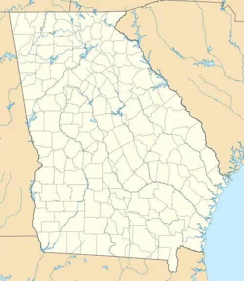
 Location in Spalding County and the state of Georgia | |
 Sunny Side Location in Metro Atlanta | |
| Coordinates: 33°20′30″N 84°17′25″W | |
| Country | United States |
| State | Georgia |
| Counties | Spalding |
| Area | |
| • Total | 0.20 sq mi (0.52 km2) |
| • Land | 0.20 sq mi (0.51 km2) |
| • Water | 0.00 sq mi (0.01 km2) |
| Population (2010) | |
| • Total | 134 |
| • Estimate (2019)[2] | 140 |
| • Density | 710.66/sq mi (273.78/km2) |
| FIPS code | 13-74572 |
History
A post office called Sunny Side was established in 1871.[3] The name "Sunny Side" was commendatorily applied to this place.[4] The Georgia General Assembly incorporated Sunny Side as a town in 1897.[5]
Geography
Sunny Side is located at 33°20′30″N 84°17′25″W (33.341724, -84.290254).[6]
According to the United States Census Bureau, the city has a total area of 0.2 square mile (0.5 km2), all land.
Demographics
| Historical population | |||
|---|---|---|---|
| Census | Pop. | %± | |
| 1880 | 42 | — | |
| 1930 | 136 | — | |
| 1940 | 123 | −9.6% | |
| 1950 | 169 | 37.4% | |
| 1960 | 190 | 12.4% | |
| 1970 | 209 | 10.0% | |
| 1980 | 338 | 61.7% | |
| 1990 | 215 | −36.4% | |
| 2000 | 142 | −34.0% | |
| 2010 | 134 | −5.6% | |
| 2019 (est.) | 140 | [2] | 4.5% |
| U.S. Decennial Census[7] | |||
As of the census[8] of 2000, there were 142 people, 53 households, and 36 families residing in the city. The population density was 701.3 people per square mile (274.1/km2). There were 56 housing units at an average density of 276.6 per square mile (108.1/km2). The racial makeup of the city was 97.18% White, and 2.82% from two or more races.
There were 53 households, out of which 30.2% had children under the age of 18 living with them, 52.8% were married couples living together, 11.3% had a female householder with no husband present, and 30.2% were non-families. 24.5% of all households were made up of individuals, and 11.3% had someone living alone who was 65 years of age or older. The average household size was 2.68 and the average family size was 3.14.
In the city, the population was spread out, with 25.4% under the age of 18, 12.0% from 18 to 24, 28.2% from 25 to 44, 21.8% from 45 to 64, and 12.7% who were 65 years of age or older. The median age was 34 years. For every 100 females, there were 121.9 males. For every 100 females age 18 and over, there were 100.0 males.
The median income for a household in the city was $27,083, and the median income for a family was $30,625. Males had a median income of $26,000 versus $17,500 for females. The per capita income for the city was $11,769. There were 14.7% of families and 13.2% of the population living below the poverty line, including 16.1% of under eighteens and 22.2% of those over 64.
References
- "2019 U.S. Gazetteer Files". United States Census Bureau. Retrieved July 9, 2020.
- "Population and Housing Unit Estimates". United States Census Bureau. May 24, 2020. Retrieved May 27, 2020.
- "Post Offices". Jim Forte Postal History. Retrieved 20 June 2019.
- Krakow, Kenneth K. (1975). Georgia Place-Names: Their History and Origins (PDF). Macon, GA: Winship Press. p. 216. ISBN 0-915430-00-2.
- Acts of the General Assembly of the State of Georgia. Clark & Hines, State Printers. 1898. p. 313.
- "US Gazetteer files: 2010, 2000, and 1990". United States Census Bureau. 2011-02-12. Retrieved 2011-04-23.
- "Census of Population and Housing". Census.gov. Retrieved June 4, 2015.
- "U.S. Census website". United States Census Bureau. Retrieved 2008-01-31.
Municipalities and communities of Spalding County, Georgia, United States | ||
|---|---|---|
| Cities |  Map of Georgia highlighting Spalding County | |
| Town | ||
| CDPs | ||
| Unincorporated communities | ||
| Footnotes | ‡This populated place also has portions in an adjacent county or counties | |
| ||