T'uru Pampa
T'uru Pampa (Quechua for polished, slippery,[2] also spelled Thuru Pampa) is a mountain in the Bolivian Andes which reaches a height of approximately 3,420 m (11,220 ft). It is located in the Chuquisaca Department, Azurduy Province, Tarvita Municipality. T'uru Pampa lies at the Rumi Jich'asqa River, southwest of Llusk'a.[1][3]
| T'uru Pampa | |
|---|---|
 T'uru Pampa Location within Bolivia | |
| Highest point | |
| Elevation | 3,420 m (11,220 ft) [1] |
| Coordinates | 19°46′47″S 64°37′00″W |
| Geography | |
| Location | Bolivia, Chuquisaca Department |
| Parent range | Andes |
References
- Bolivian IGM map 1:50,000 Río San José 6634-I
- Teofilo Laime Ajacopa, Diccionario Bilingüe Iskay simipi yuyayk'ancha, La Paz, 2007 (Quechua-Spanish dictionary)
- "Tarvita". INE, Bolivia. Retrieved April 24, 2016.
Capital: Sucre | ||
| Provinces | 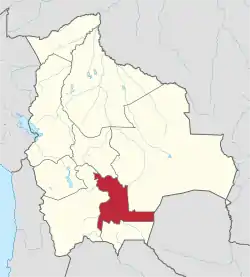 | |
| Municipalities and seats |
| |
This article is issued from Wikipedia. The text is licensed under Creative Commons - Attribution - Sharealike. Additional terms may apply for the media files.