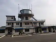
Takoradi Airport
Takoradi Airport (IATA: TKD, ICAO: DGTK) is an airport in Sekondi-Takoradi, a city and capital of Western Region southern Ghana.[1][2]
Takoradi Airport | |||||||||||
|---|---|---|---|---|---|---|---|---|---|---|---|
 | |||||||||||
| Summary | |||||||||||
| Airport type | Military | ||||||||||
| Owner | Ghana Air Force | ||||||||||
| Location | Takoradi, Western Region | ||||||||||
| Elevation AMSL | 22 ft / 7 m | ||||||||||
| Coordinates | 04°53′45″N 001°46′29″W | ||||||||||
| Map | |||||||||||
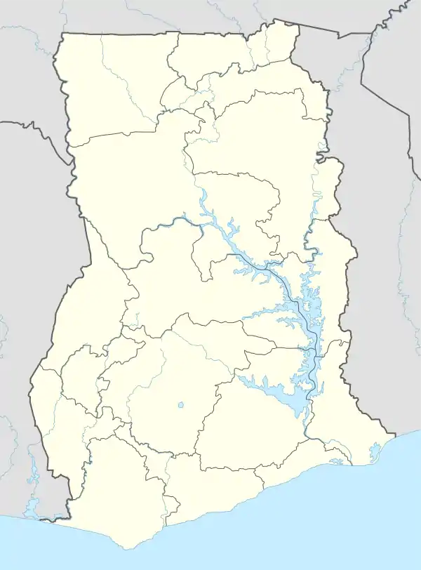 TKD Location in Ghana | |||||||||||
| Runways | |||||||||||
| |||||||||||
Second World War: Takoradi air route
During World War II, the United States Army Air Forces Air Transport Command Trans-Africa Ferry Route, was a major transportation link between the Atlantic Ocean port of Lagos in Nigeria, and the Sudan. who is one of the main routes for N.-Lease aircraft sent to Russia, and other supplies sent to British forces in Egypt and the Middle East. The route had been pioneered in 1936 by Imperial Airways, but was dramatically expanded during the war.[4]
Takoradi Airport was a major refueling stop between Robertsfield, the airport the U.S. built to serve Liberia's capital Monrovia, and Apapa Airport, Nigeria. Takoradi Airport was utilized as a Royal Air Force station known as "RAF Takoradi", where crated aircraft, that had been shipped over the Atlantic, were assembled prior to being flown to operational areas in North Africa. 26 Squadron SAAF was also based in Takoradi during World War II flying Vickers Wellington bombers on anti-submarine and convoy protection patrols over the Atlantic. A number of South African Air Force airmen are buried in the Takoradi European Public cemetery adjoining the Airport.
Airlines and destinations
| Airlines | Destinations |
|---|---|
| Africa World Airlines | Accra |
| Passion Air | Accra |
Accidents and incidents
- On 24 April 1969, Douglas C-47A 9G-AAF of Ghana Airways crashed on approach to Takoradi Airport, killing one passenger of the 33 passengers and crew. The aircraft was operating a domestic scheduled passenger flight from Kotoka Airport, Accra.[5]
References
- Airport information for DGTK at World Aero Data. Data current as of October 2006.Source: DAFIF.
- Airport information for TKD at Great Circle Mapper. Source: DAFIF (effective October 2006).
- Google Maps - Takoradi RWY 22
- I.C.B Dear, ed, The Oxford Companion to World War II (1995) p 1099
- "9G-AAF Accident Description". Aviation Safety Network. Retrieved 9 February 2011.
External links