Tarneit Plains, Victoria
Tarneit Plains is a suburb in the outer west of Melbourne, Victoria, Australia. Its local government area is the City of Melton.
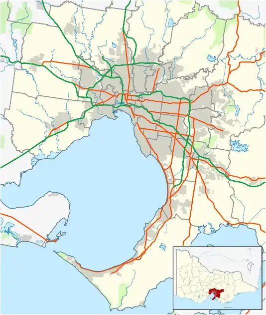
| Tarneit Plains Melbourne, Victoria | |||||||||||||||
|---|---|---|---|---|---|---|---|---|---|---|---|---|---|---|---|
 Tarneit Plains | |||||||||||||||
| Coordinates | 37.7819°S 144.6809°E | ||||||||||||||
| Established | 2017 | ||||||||||||||
| Postcode(s) | 3029 | ||||||||||||||
| Location | 25 km (16 mi) from Melbourne GPO | ||||||||||||||
| LGA(s) | City of Melton | ||||||||||||||
| State electorate(s) | |||||||||||||||
| Federal Division(s) | |||||||||||||||
| |||||||||||||||
History
Tarneit Plains is situated in the Kulin nation traditional Aboriginal country. The Wathaurong and Woiwurrung people are local custodians within the Kulin nation.[1][2] The suburb was gazetted and approved by the Victorian government in 2017.[3][4] Prior to the suburb's creation, the area was part of Truganina. The City of Melton had retained the postcode for Tarneit Plains.[5][6]
References
- "S29: Wathaurong". Australian Institute of Aboriginal and Torres Strait Islander Studies. Federal government. 26 July 2019. Retrieved 6 January 2021.
- "S36: Woiwurrung". Australian Institute of Aboriginal and Torres Strait Islander Studies. Federal government. 26 July 2019. Retrieved 6 January 2021.
- "Annual Report 2017-2018" (PDF). Victorian Planning Authority. 2018. ISSN 2208-5602.
- "Mt Atkinson and Tarneit Plains Precinct Structure Plan". VPA. Retrieved 10 June 2020.
- "Help name new suburbs across the City of Melton". Star Weekly. Archived from the original on 3 August 2019. Retrieved 13 April 2020.
- "Mt Atkinson and Tarneit Plains Precinct Structure Plan". VPA. Retrieved 10 June 2020.
This article is issued from Wikipedia. The text is licensed under Creative Commons - Attribution - Sharealike. Additional terms may apply for the media files.