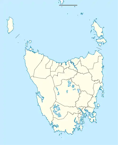
Tea Tree, Tasmania
Tea Tree is a rural locality and town in the local government areas of Southern Midlands and Brighton in the Central and Hobart regions of Tasmania. It is located about 10 kilometres (6.2 mi) north-east of the town of Brighton. The 2016 census determined a population of 413 for the state suburb of Tea Tree.[1]
| Tea Tree Tasmania | |||||||||||||||
|---|---|---|---|---|---|---|---|---|---|---|---|---|---|---|---|
 Tea Tree | |||||||||||||||
| Coordinates | 42°40′55″S 147°21′06″E | ||||||||||||||
| Population | 413 (2016)[1] | ||||||||||||||
| Postcode(s) | 7017 | ||||||||||||||
| Location | 10 km (6 mi) NE of Brighton | ||||||||||||||
| LGA(s) | Southern Midlands, Brighton | ||||||||||||||
| Region | Central, Hobart | ||||||||||||||
| State electorate(s) | Lyons | ||||||||||||||
| Federal Division(s) | Lyons | ||||||||||||||
| |||||||||||||||
History
Tea Tree was gazetted as a locality in 1970.[2]
Geography
Most boundaries of the locality are survey lines. The Main rail line passes through via the town from west to east.[3]
Road infrastructure
The C321 route (Tea Tree Road) enters from the west and runs through via the town to the north-east, where it exits. Route C322 (Middle Tea Tree Road) starts at an intersection with C321 and runs south-east until it exits. Route C323 (Back Tea Tree Road) starts at an intersection with C321 on the western boundary and runs south-east through the locality until it exits.[2][4]
References
- "2016 Census Quick Stats Tea Tree (Tas.)". quickstats.censusdata.abs.gov.au. Australian Bureau of Statistics. 23 October 2017. Retrieved 28 June 2020.
- "Placenames Tasmania – Tea Tree". Placenames Tasmania. Retrieved 28 June 2020.
Select “Search”, enter 1273S, click “Search”, select row, map is displayed, click “Details”
- Google (28 June 2020). "Tea Tree, Tasmania" (Map). Google Maps. Google. Retrieved 28 June 2020.
- "Tasmanian Road Route Codes" (PDF). Department of Primary Industries, Parks, Water & Environment. May 2017. Archived from the original (PDF) on 1 August 2017. Retrieved 18 May 2020.
