Thorny Flat
Thorny Flat (4,848 feet (1,478 m)) is the second highest peak in the U.S. state of West Virginia, after Spruce Knob.[3][4] Thorny Flat is the high point of the ridge known as Cheat Mountain.
| Thorny Flat | |
|---|---|
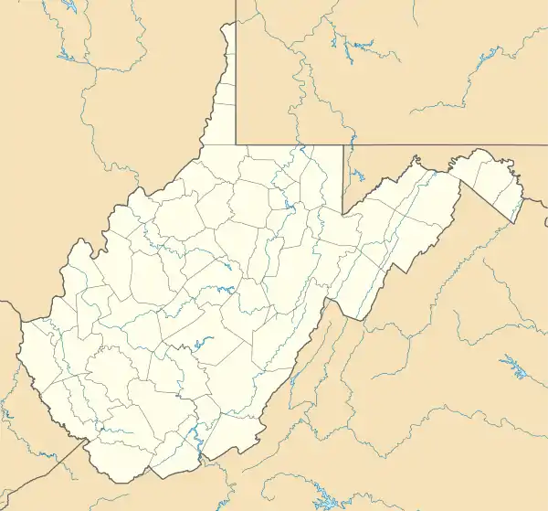 Thorny Flat Location in West Virginia  Thorny Flat Location in the United States | |
| Highest point | |
| Elevation | 4,848 ft (1,478 m) [1] |
| Prominence | 1,688 ft (515 m) [1] |
| Coordinates | 38°23′37″N 79°59′02″W [2] |
| Geography | |
| Location | Pocahontas County, West Virginia, U.S. |
| Parent range | Alleghany Mountains |
| Topo map | USGS Cass |
| Climbing | |
| First ascent | Prehistoric |
| Easiest route | Hike |
References
- "Thorny Flat, West Virginia". Peakbagger.com. Retrieved August 27, 2015.
- "Thorny Flat". Geographic Names Information System. United States Geological Survey. Retrieved August 27, 2015.
- "West Virginia 4500-foot Peaks". Peakbagger.com. Retrieved August 27, 2015.
- Cass, WV (Map). TopoQwest (United States Geological Survey Maps). Retrieved August 27, 2015.
This article is issued from Wikipedia. The text is licensed under Creative Commons - Attribution - Sharealike. Additional terms may apply for the media files.