Tortel
Tortel is a Chilean commune located at the outflow of the Baker River and Pascua River to the Pacific Ocean. It lies between the Northern and Southern Patagonian Ice Field in the Capitán Prat Province in the Aysén Region. The commune is administered by the municipality in Caleta Tortel, the principal settlement.
Tortel | |
|---|---|
 Wooden walkways in Caleta Tortel | |
 Location of the Tortel commune in the Aisén Region 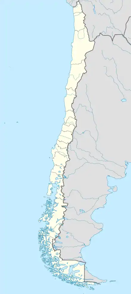 Tortel Location of the Tortel commune in the Aisén Region | |
| Coordinates: 47°47′49″S 73°31′59″W | |
| Country | Chile |
| Region | Aisén |
| Province | Capitán Prat |
| Seat | Caleta Tortel |
| Government | |
| • Type | Municipality |
| • Alcalde | Bernardo López Sierra (PPD) |
| Area | |
| • Total | 19,930.6 km2 (7,695.2 sq mi) |
| Elevation | 7 m (23 ft) |
| Population (2012 Census)[3] | |
| • Total | 487 |
| • Density | 0.024/km2 (0.063/sq mi) |
| • Urban | 0 |
| • Rural | 507 |
| Sex | |
| • Men | 322 |
| • Women | 185 |
| Time zone | UTC−04:00 (CLT [4]) |
| • Summer (DST) | UTC−03:00 (CLST [5]) |
| Area code(s) | 56 + 67 |
| Website | www.tortel.cl |
Demographics
According to the 2002 census of the Chilean National Statistics Institute, Tortel spans an area of 19,930.6 km2 (7,695 sq mi) and has 507 inhabitants (322 men and 185 women), making the commune an entirely rural area. The population grew by 13% (59 persons) between the 1992 and 2002 censuses.[3]
Administration
As a commune, Tortel is a third-level administrative division of Chile administered by a municipal council, headed by an alcalde who is directly elected every four years. The 2008–2012 alcalde is Bernardo López Sierra (PPD).[1][2]
Within the electoral divisions of Chile, Tortel is represented in the Chamber of Deputies by Iván Fuentes Castillo (Nueva Mayoría) and David Sandoval (UDI) as part of the 59th electoral district, which includes the entire Aisén Region. The commune is represented in the Senate by Antonio Horvath Kiss (RN) and Patricio Walker Prieto (PDC) as part of the 18th senatorial constituency (Aisén Region).
Landmarks and main features
Tortel commune is one of the most remote in southern Chile and its unspoiled landscape is one of its principal attractions. Features include:
- Caleta Tortel is a lumber town with an intricate walkway system built by the town’s inhabitants which run several kilometres around the cove (“caleta”). Without these walkways, the only way to communicate and travel between houses would be by boat, given the density of the vegetation and the steepness of the hills around the cove.[6] The walkway system has become part of the town’s culture and a local tourist attraction.
- Laguna San Rafael National Park is a park located on the Pacific coast of southern Chile. The park is named for the San Rafael Lagoon formed by the retreat of the San Rafael Glacier. Created in 1959, it covers an area of 17,420 km2 (6,726 sq mi) and includes the Northern Patagonian Ice Field. A fjord of more than 16 km (10 mi) in length is one of the park's principal attractions.
- The Southern Patagonian Ice Field (Spanish: Hielos Continentales or Campo de Hielo Sur), located in the Southern Patagonian Andes between Argentina and Chile, is the world's second largest contiguous extrapolar ice field.[7] It is the bigger of two remnant parts of the Patagonian Ice Sheet, which covered all of southern Chile during the last glacial period, locally called the Llanquihue glaciation.
- Katalalixar National Reserve is a natural reserve located in an archipelago between the Southern Patagonian Ice Field and the Northern Patagonian Ice Field in the Aysén Region of Chile. The reserve was created in 1983 and has no infrastructure. It covers an area of 6,245 km2 (2,411 sq mi) within the Magellanic subpolar forests ecoregion and exhibits more biodiversity than other areas of southern Chile. This may appear contradictory, as the area is supposed to have been covered by the Patagonian Ice Sheet during the last glacial maximum.
- Bernardo O'Higgins National Park (Spanish pronunciation: [beɾˈnaɾðo oˈxiɣins]) is the largest of the protected areas in Chile, covering an area of 35,259 km2 (13,614 sq mi) in both the Aysén and Magallanes and Antártica Chilena regions.[8] Management of this and other national parks in Chile is entrusted to the Corporación Nacional Forestal (CONAF).[9] The park is named after General Bernardo O'Higgins, the first head of state of the Republic of Chile. Los Glaciares National Park (Argentina) and Torres del Paine National Park (Chile) are its neighbours to the east, Laguna San Rafael National Park is located to the north, the Alacalufes National Reserve to the southwest and the Katalalixar National Reserve to the northwest.
References
- "Asociación Chilena de Municipalidades" (in Spanish). Retrieved 27 January 2011.
- "Municipality of Tortel" (in Spanish). Retrieved 27 January 2011.
- "National Statistics Institute" (in Spanish). Retrieved 27 January 2010.
- "Chile Time". WorldTimeZones.org. Archived from the original on 11 September 2007. Retrieved 26 September 2010.
- "Chile Summer Time". WorldTimeZones.org. Archived from the original on 11 September 2007. Retrieved 26 September 2010.
- Tortel walkways Atlas vivo de chile, retrieved December 09, 2013
- At about 16,800 square kilometers, it is second only to southeastern Alaska's approximately 25,000 square kilometer Kluane / Wrangell–St. Elias / Glacier Bay / Tatshenshini-Alsek Ice Field.
- "Bernardo O'Higgins National Park". Retrieved 18 February 2010.
- "Parque Nacional Bernardo O'Higgins". Corporacion Nacional Forestal. Archived from the original on 2012-08-07. Retrieved 2012-03-20.
External links
Communes and municipalities in Aysén Region | ||
|---|---|---|
| Aysén |  | |
| Capitán Prat | ||
| Coyhaique | ||
| General Carrera | ||
