Tsinga
Tsinga or Singa is a village in Indonesia located in Western New Guinea, in the kabupaten of Mimika Regency.
Tsinga | |
|---|---|
Village | |
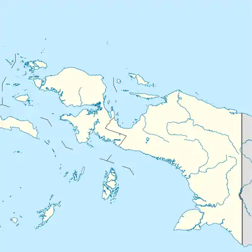 Tsinga Location of the town in Western New Guinea | |
| Coordinates: 4°12′46″S 137°10′56″E | |
| Country | |
| Province | Papua |
| Regency | Mimika Regency |
| Elevation | 1,400 m (4,600 ft) |
| Population (2006) | |
| • Total | 71,838 |
| Time zone | UTC+7 (WIB) |
| Climate | Cfb |
Geography
Tsinga is found in the east of Indonesia on the island of New Guinea, in the kabupaten of Mimika Regency in Papua Province.[1] It is located on the Sudirman Range of the Maoke Mountains, in the valley of the river Nasura, just before its confluence with the river Tsing.[1]
The village is used by climbers who are heading for Puncak Jaya[2] · [1] · ,[3] the highest point of these mountains, of Indonesia, of Oceania and one of the seven summits,[2] which are found within 12 kilometres as the crow flies northwards.[1]
References
- (in English) Geoffrey S. Hope, James A. Peterson, Ian Allison et Uwe Radok (1976), "Western Sudirman Range, Irian Jaya" (PDF), in A.A. Balkema (ed.), The Equatorial Glaciers of New Guinea (Results of the 1971-1973 Australian Universities' Expeditions to Irian Jaya: survey, glaciology, meteorology, biology and palaeoenvironment), Rotterdam, pp. 245, passage 1, ISBN 90-6191-012-9CS1 maint: multiple names: authors list (link)
- (in English) "7summits.com - Carstensz Pyramid". Retrieved 30 April 2009.
- (in English) "7summits.com - Voies et équipements". Retrieved 30 April 2009.
- (in English) Geoffrey S. Hope, James A. Peterson, Ian Allison and Uwe Radok (1976), A.A. Balkema (ed.), The Equatorial Glaciers of New Guinea, Rotterdam, p. 245, ISBN 90-6191-012-9, HopeCS1 maint: multiple names: authors list (link)
This article is issued from Wikipedia. The text is licensed under Creative Commons - Attribution - Sharealike. Additional terms may apply for the media files.