Tsurugisan Quasi-National Park
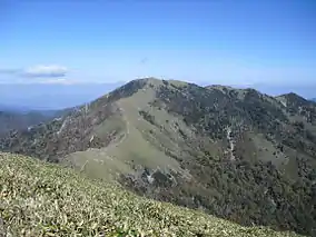
Tsurugisan Quasi-National Park (剣山国定公園, Tsurugisan kokutei kōen) is a Quasi-National Park that spans the borders of Tokushima and Kōchi Prefectures, Japan.[3][4] It was founded on 3 March 1964 and has an area of 209.6 km2 (80.9 sq mi).[5] Within Tokushima Prefecture, the park includes a stretch of the Yoshino River and the Iya Valley.[6]
| Tsurugisan Quasi-National Park | |
|---|---|
| 剣山国定公園 | |
 | |
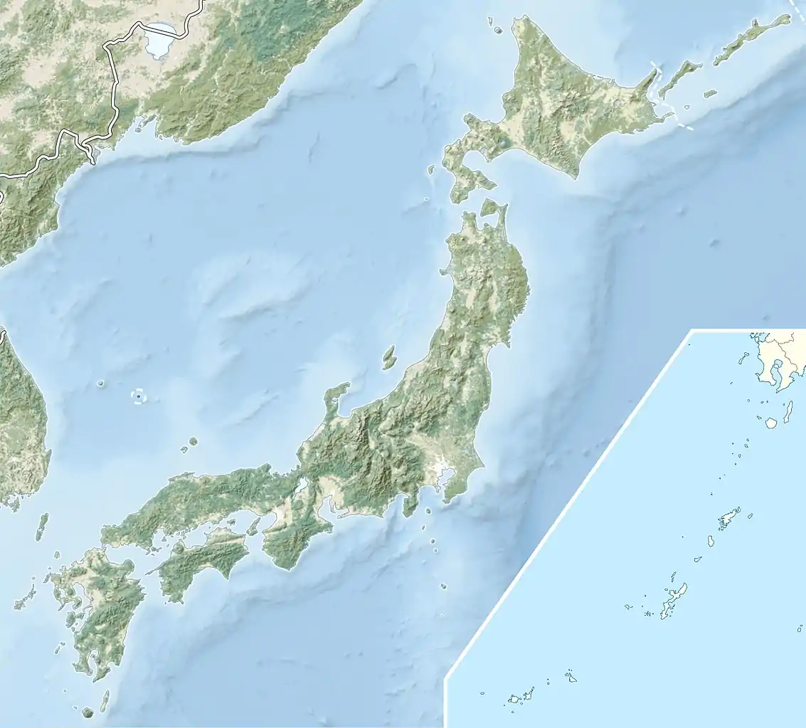 Map of Japan | |
| Location | Tokushima/Kōchi Prefecture, Japan |
| Coordinates | 33.894°N 134.107°E[1] |
| Area | 209.6 km2 (80.9 sq mi) |
| Established | March 3, 1964 |
See also
| Wikimedia Commons has media related to Tsurugisan Quasi-National Park. |
References
- "Tsurugisan Quasi National Park". protectedplanet.net.
- "Tsurugisan Quasi National Park". protectedplanet.net.
- "剣山国定公園". Ministry of the Environment. Archived from the original on 5 June 2011. Retrieved 10 May 2011.
- "北長門海岸/秋吉台/剣山/室戸阿南海岸". National Parks Association of Japan. Archived from the original on 23 March 2012. Retrieved 10 May 2011.
- "List of National Parks". Ministry of the Environment. Retrieved 10 May 2011.
- 徳島県の自然公園 [Natural Parks of Tokushima Prefecture] (in Japanese). Tokushima Prefecture. Archived from the original on 11 April 2013. Retrieved 26 June 2012.
This article is issued from Wikipedia. The text is licensed under Creative Commons - Attribution - Sharealike. Additional terms may apply for the media files.