Tulymsky Kamen
Tulymsky Kamen (Russian: Тулымский камень) is a mountain range in North Ural. Located in northeastern portion of Krasnovishersky District, Perm Krai, Russia, the range stretches about 24 km north-south. At 1,496 m elevation, it is also the highest point of Perm Krai.
| Tulymsky Kamen | |
|---|---|
| Тулымский камень | |
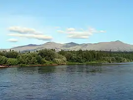 View of Tulymsky Kamen from the Vishera River | |
| Highest point | |
| Elevation | 1,496 m (4,908 ft) |
| Coordinates | 61°08′29″N 58°55′41″E |
| Geography | |
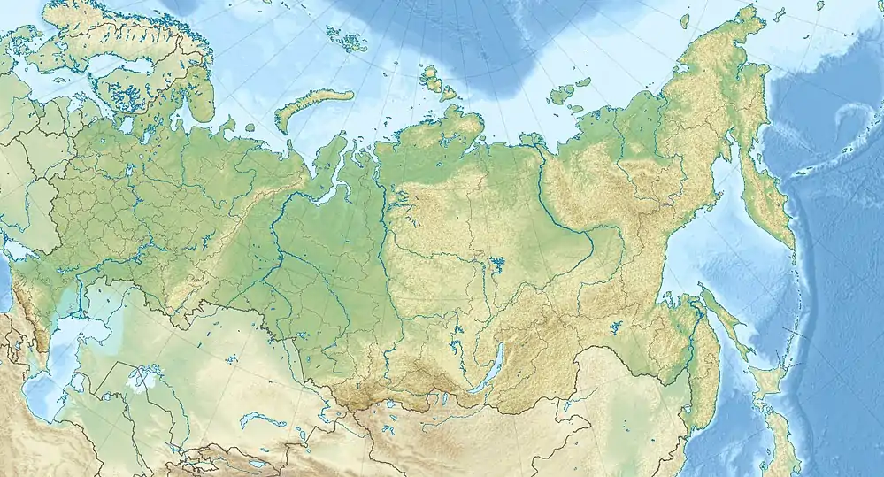 Tulymsky Kamen Location in Russia | |
| Location | Krasnovishersky District, Perm Krai, Russia |
Several small tributaries of the Vishera River, located in the area of the Vishera Nature Reserve, originate from the generally steeper western slopes of the range.
Etymology
The word "Tulym", in some Tatar dialects, means "rocks sticking out of the river", and in the Komi-Yodzyak language it means "rapids", likely referring to the rapids on the Vishera River. In the Mansi language, the range has two names: ‘Yaktyl-ya-Nyor’ (range of rapids river) and ‘Luv-Nyor’ (horse-stone).
External links
This article is issued from Wikipedia. The text is licensed under Creative Commons - Attribution - Sharealike. Additional terms may apply for the media files.