Tyrone, New Mexico
Tyrone is a census-designated place in Grant County, New Mexico, United States. Its population was 637 as of the 2010 census.[2]
Tyrone, New Mexico | |
|---|---|
 Tyrone  Tyrone | |
| Coordinates: 32°42′35″N 108°18′07″W | |
| Country | United States |
| State | New Mexico |
| County | Grant |
| Area | |
| • Total | 0.336 sq mi (0.87 km2) |
| • Land | 0.336 sq mi (0.87 km2) |
| • Water | 0 sq mi (0 km2) |
| Elevation | 5,745 ft (1,751 m) |
| Population | |
| • Total | 637 |
| • Density | 1,900/sq mi (730/km2) |
| Time zone | UTC-7 (Mountain (MST)) |
| • Summer (DST) | UTC-6 (MDT) |
| Area code(s) | 575 |
| GNIS feature ID | 938834[3] |
Tyrone is located 5 miles (8.0 km) northeast of the original town of Tyrone, which was destroyed by mining operations.[3]
The townsite was built by the Phelps Dodge mining company (now Freeport-McMoRan) to house miners. Between 1968 and 1972, there were 320 homes built; four or five more have been added since then. A large commercial building at the entrance to the townsite (on Highway 90) housed a post office and a general mercantile (now closed). The townsite included a baseball field, children's park, and ten acres of a grassy 'picnic park'. Large homes with extensive views on the top of the ridge were referred to as Bosses Hill homes. In the 1990s, the mining company divested itself of the homes, which are now privately owned.
References
- "US Gazetteer files: 2010, 2000, and 1990". United States Census Bureau. 2011-02-12. Retrieved 2011-04-23.
- "U.S. Census website". United States Census Bureau. Retrieved 2011-05-14.
- "Tyrone". Geographic Names Information System. United States Geological Survey.
Municipalities and communities of Grant County, New Mexico, United States | ||
|---|---|---|
| City | 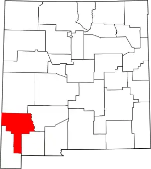 Map of New Mexico highlighting Grant County | |
| Towns | ||
| Village | ||
| CDPs | ||
| Other unincorporated communities | ||
| Ghost towns | ||
| ||