Umawera
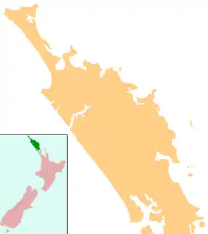
Umawera is a community in Northland, New Zealand. State Highway 1 runs through the community. Mangamuka Bridge is to the northwest, and Rangiahua is to the east.[1][2] Umawera is part of the Omahuta Forest-Horeke statistical area, which covers the upper Hokianga Harbour. For demographics of this area, see Horeke.
Umawera | |
|---|---|
 Umawera | |
| Coordinates: 35°17′8″S 173°34′25″E | |
| Country | New Zealand |
| Region | Northland Region |
| District | Far North District |
Education
Umawera School is a coeducational contributing primary (years 1-6) school[3] with a roll of 33 students as of March 2020.[4]
Notes
- Peter Dowling (editor) (2004). Reed New Zealand Atlas. Reed Books. pp. map 4. ISBN 0-7900-0952-8.CS1 maint: extra text: authors list (link)
- Roger Smith, GeographX (2005). The Geographic Atlas of New Zealand. Robbie Burton. pp. map 19. ISBN 1-877333-20-4.
- Education Counts: Umawera School
- "New Zealand Schools Directory". New Zealand Ministry of Education. Retrieved 26 April 2020.
This article is issued from Wikipedia. The text is licensed under Creative Commons - Attribution - Sharealike. Additional terms may apply for the media files.
