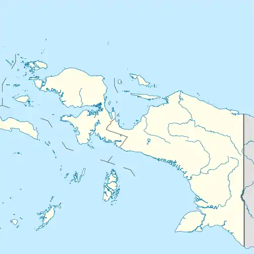
Uta, Indonesia
Uta (also known as Oeta, Auta, or Aoeta) is a coastal village in Papua, Indonesia.[1]
Uta | |
|---|---|
Village | |
 Uta Location of the village in Indonesian Papua | |
| Coordinates: 4°33′S 136°0′E | |
| Country | |
| Province | Papua |
| Time zone | UTC+9 (WIT) |
| Climate | Af |
Climate
Uta has a tropical rainforest climate (Af) with heavy to very heavy rainfall year-round.
| Climate data for Uta | |||||||||||||
|---|---|---|---|---|---|---|---|---|---|---|---|---|---|
| Month | Jan | Feb | Mar | Apr | May | Jun | Jul | Aug | Sep | Oct | Nov | Dec | Year |
| Average high °C (°F) | 30.9 (87.6) |
30.9 (87.6) |
30.8 (87.4) |
30.5 (86.9) |
29.9 (85.8) |
28.5 (83.3) |
27.5 (81.5) |
27.7 (81.9) |
28.5 (83.3) |
29.5 (85.1) |
30.6 (87.1) |
30.9 (87.6) |
29.7 (85.4) |
| Daily mean °C (°F) | 26.4 (79.5) |
26.4 (79.5) |
26.4 (79.5) |
26.3 (79.3) |
26.0 (78.8) |
24.9 (76.8) |
24.2 (75.6) |
24.3 (75.7) |
24.8 (76.6) |
25.6 (78.1) |
26.4 (79.5) |
26.5 (79.7) |
25.7 (78.2) |
| Average low °C (°F) | 22.0 (71.6) |
21.9 (71.4) |
22.1 (71.8) |
22.1 (71.8) |
22.1 (71.8) |
21.4 (70.5) |
20.9 (69.6) |
21.0 (69.8) |
21.2 (70.2) |
21.8 (71.2) |
22.2 (72.0) |
22.1 (71.8) |
21.7 (71.1) |
| Average rainfall mm (inches) | 261 (10.3) |
267 (10.5) |
278 (10.9) |
275 (10.8) |
294 (11.6) |
315 (12.4) |
345 (13.6) |
337 (13.3) |
229 (9.0) |
184 (7.2) |
172 (6.8) |
224 (8.8) |
3,181 (125.2) |
| Source: Climate-Data.org[2] | |||||||||||||
References
- Family Reference Atlas of the World (Second Edition). National Geographic. p. 189.
- "Climate: Uta". Climate-Data.org. Retrieved 22 December 2020.
This article is issued from Wikipedia. The text is licensed under Creative Commons - Attribution - Sharealike. Additional terms may apply for the media files.