Vanderkloof
Vanderkloof is a town in the Northern Cape province of South Africa. It is located on the Orange River and near the Rolfontein Nature Reserve.
Vanderkloof | |
|---|---|
 Vanderkloof  Vanderkloof | |
| Coordinates: 30°0′S 24°44′E | |
| Country | South Africa |
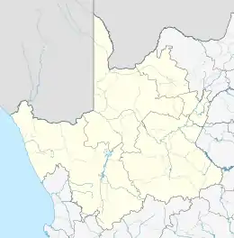
| Province | Northern Cape |
| District | Pixley ka Seme |
| Municipality | Renosterberg |
| Area | |
| • Total | 4.91 km2 (1.90 sq mi) |
| Population (2011)[1] | |
| • Total | 1,228 |
| • Density | 250/km2 (650/sq mi) |
| Racial makeup (2011) | |
| • Black African | 17.8% |
| • Coloured | 45.3% |
| • Indian/Asian | 0.4% |
| • White | 35.2% |
| • Other | 1.3% |
| First languages (2011) | |
| • Afrikaans | 90.1% |
| • English | 3.1% |
| • Xhosa | 3.1% |
| • Tswana | 1.7% |
| • Other | 2.0% |
| Time zone | UTC+2 (SAST) |
| Postal code (street) | 8771 |
| PO box | 8771 |
| Area code | 053 |
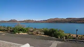
Village on the site of the Vanderkloof Dam, (formerly the P.K. le Roux Dam), 9 km north-east of Petrusville. It was established to house the labour force constructing the dam. The name is derived from the surname of Petrus J van der Walt, and a ravine (Afrikaans kloof) in the vicinity.[2]
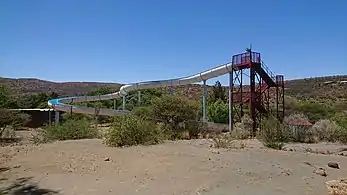
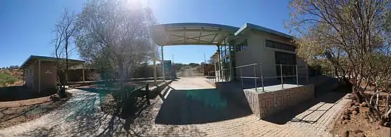
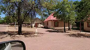
Gallery


References
- "Main Place Vanderkloof". Census 2011.
- "Dictionary of Southern African Place Names (Public Domain)". Human Science Research Council. p. 453.
Municipalities and communities of Pixley ka Seme District Municipality, Northern Cape | ||
|---|---|---|
District seat: De Aar | ||
| Emthanjeni | .svg.png.webp) Pixley ka Seme District within South Africa | |
| Kareeberg | ||
| Renosterberg | ||
| Siyancuma | ||
| Siyathemba | ||
| Thembelihle | ||
| Ubuntu | ||
| Umsobomvu | ||
This article is issued from Wikipedia. The text is licensed under Creative Commons - Attribution - Sharealike. Additional terms may apply for the media files.