Veig
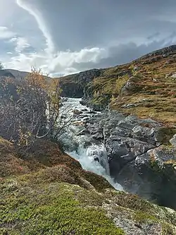
The Veig is a river in the municipalities of Eidfjord and Ullensvang in Vestland county, Norway.[1][2] The river is 44.6 kilometers (27.7 mi) long and has a drainage basin of 497.86 square kilometers (192.22 sq mi).[3] Its average discharge is 23.22 cubic meters per second (820 cu ft/s).[3]
| Veig | |
|---|---|
 | |
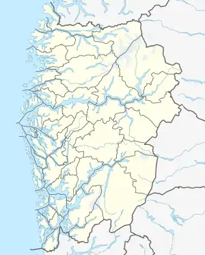
 Location of the river  Veig (Norway) | |
| Location | |
| Country | Norway |
| County | Vestland |
| Municipalities | Eidfjord Municipality |
| Physical characteristics | |
| Source | Hardanger Plateau |
| • location | Eidfjord / Ullensvang, Norway |
| • coordinates | 60.188475°N 7.2109794°E |
| • elevation | 1,287 m (4,222 ft) |
| Mouth | Lake Eidfjord |
• location | Eidfjord, Norway |
• coordinates | 60.4260759°N 7.1147847°E |
• elevation | 17.5 m (57 ft) |
| Length | 44.6 km (27.7 mi) |
| Basin size | 497.86 km2 (192.22 sq mi) |
The river rises east of Hårteigen (1,690 meters or 5,540 feet), a mountain in the central part of the Hardanger Plateau. It runs to the north and empties into Lake Eidfjord.[1] Along its course from the plateau to the Valur Valley (Valursdalen) is Valur Falls (Valursfossen), with a height of 272 meters (892 ft).[1] It then flows through the Hjølmo Valley (Hjølmadalen) before reaching Lake Eidfjord. In 1981 the river system was protected against development for hydroelectric power in connection with the creation of Hardanger Plateau National Park.[1][4]
References
- Heggstad, Ragnar. "Veig". Store norske leksikon. Retrieved May 6, 2018.
- "Veig, Eidfjord (Hordaland)". Yr. Norwegian Meteorological Institute and the Norwegian Broadcasting Corporation. Retrieved May 6, 2018.
- "Veig". NVE Atlas. Norges vassdrags- og energidirektorat. Retrieved May 6, 2018.
- "050/4 Veig". Norges vassdrags- og energidirektorat. January 29, 2009. Retrieved May 6, 2018.