Vesijärvi
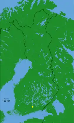
Vesijärvi is a lake of 111 square kilometres (43 sq mi) near Lahti in southern Finland. It suffered severe effects of eutrophication in the 1960s and a restoration programme began in the 1970s. The Enonselkä Basin is a part of Vesijärvi.
| Vesijärvi | |
|---|---|
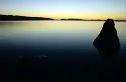 Vesijärvi at night | |
 Vesijärvi | |
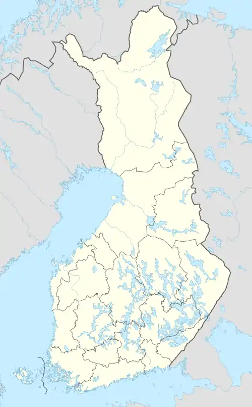
| Location | Päijänne Tavastia |
| Coordinates | 61°04′58″N 025°32′18″E |
| Basin countries | Finland |
| Max. length | 25 km (16 mi) |
| Surface area | 107.57 km2 (41.53 sq mi) |
| Average depth | 6 m (20 ft) |
| Max. depth | 42 m (138 ft) |
| Water volume | 484×106 m3 (17.1×10⁹ cu ft) |
| Shore length1 | 181 km (112 mi) |
| Surface elevation | 81.4 m (267 ft) |
| Settlements | Asikkala, Lahti |
| References | [1] |
| 1 Shore length is not a well-defined measure. | |
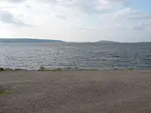
View from harbour
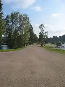
Road that separates Pikku-Vesijärvi from Vesijärvi
The name of the lake means The Water Lake.
Cyanobacteria Bloom Remediation
- Biomanipulation is an approach that applies the top-down model of community organization to alter ecosystem characteristics.
- Ecologists used cyanobacteria blooms as an alternative to using chemical treatments.
- Lake Vesijärvi was polluted by city sewage and industrial wastewater until 1976, at which point pollution controls reduced these inputs. By 1986 massive blooms of cyanobacteria began occurring, as well as dense populations of roach, a fish that benefited from the pollution's mineral nutrients. Roach eat zooplankton that otherwise keep cyanobacteria in check. To remediate this problem, ecologists removed about a million of kilograms of fish, reducing roach to 20% of their former abundance, between 1989 and 1994, and stocked the lake with pike perch which eats roach. The water has since become clear, and the last cyanobacteria bloom was in 1989.[2]
In popular culture
- The ninth track on Geographer's 2012 album Myth is titled "Vesijärvi".
See also
- Enonsaari – an island located in the lake.
- Kajaanselkä Basin - a lake basin that connects to lake Vesijarvi
- Pikku-Vesijärvi
References
This article is issued from Wikipedia. The text is licensed under Creative Commons - Attribution - Sharealike. Additional terms may apply for the media files.