Wahmonie, Nevada
Wahmonie was a mining town in Nevada. It was established as a gold mining camp in February 1928 and had a population of 500 by March. Peak population was reached that summer, with between 1000 and 1500 residents. Gold was not found in sufficient quantity to sustain the place, and the site was quickly abandoned. The post office was in operation from April 1928 until April 1929.[2] Wahmonie was the last large mining rush in Nevada.[3][4] The location was also known as Horn Silver Mine.[1][5]
Wahmonie, Nevada | |
|---|---|
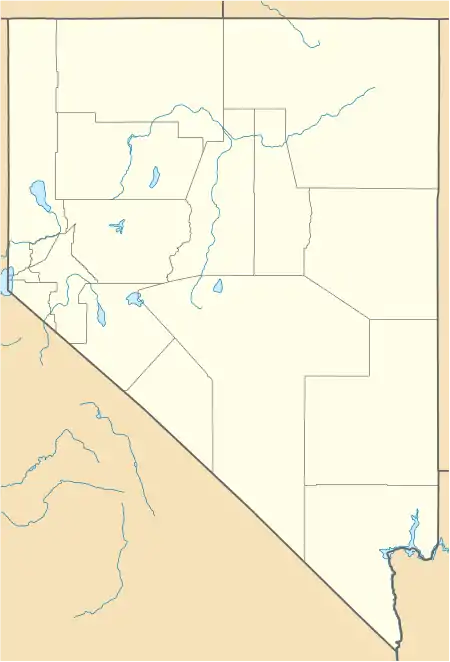
 Wahmonie, Nevada Location within the state of Nevada  Wahmonie, Nevada Wahmonie, Nevada (the United States) | |
| Coordinates: 36°48′42″N 116°09′36″W[1] | |
| Country | United States |
| State | Nevada |
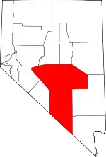
| County | Nye |
| Elevation | 5,190 ft (1,582 m) |
| Time zone | UTC-8 (Pacific (PST)) |
| • Summer (DST) | UTC-7 (PDT) |
| GNIS feature ID | 857495 |
The site of the town is on the eastern side of Jackass Flats west of Cane Spring, in what is now the Nevada Test Site. The Wahmonie Flats area was used for the Project Pluto nuclear-powered ramjet project.[6]
References
- U.S. Geological Survey Geographic Names Information System: Wahmonie (historical)
- U.S. Geological Survey Geographic Names Information System: Wahmonie Post Office (historical)
- Fehner, Terrence R.; Gosling, F.G. (December 2000). Origins of the Nevada Test Site (PDF). U.S. Department of Energy. p. 14.
- "Wahmonie". Geographic Names Information System. United States Geological Survey.
- Kral, Victor E. (January 1951). Mineral Resources of Nye County, Nevada (Report). XLV. Nevada State Bureau of Mines and the Mackay School of Mines. p. 206. Retrieved August 2, 2020.
- "Nevada Test Site, Pluto Facility, Disassembly Building, Area 26, Wahmonie Flats, Cane Spring Road, Mercury, Nye County, NV" (PDF). Historic American Engineering Record. Library of Congress. Retrieved 20 January 2017.
External links
- Horn Silver Mine (westernmininghistory.com) - includes references.
- Wahmonie, 1928, The Last Hurrah (bascojoenv)
This article is issued from Wikipedia. The text is licensed under Creative Commons - Attribution - Sharealike. Additional terms may apply for the media files.
