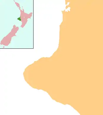
Warea, New Zealand
Warea is a community in the west of Taranaki, in the North Island of New Zealand. It is located on State Highway 45, 26 kilometres north of Opunake. The local Pūniho Marare, also known as Tarawainuku Marae, is a traditional meeting ground of the Taranaki Iwi hapū of Ngā Māhanga.[1] It includes the Kaimirumiru and Ko Pauna te Tipuna meeting houses.[2]
Warea | |
|---|---|
 Warea | |
| Coordinates: 39°13′41″S 173°48′58″E | |
| Country | New Zealand |
| Region | Taranaki |
| District | South Taranaki District |
During the First Taranaki War in April 1860, government troops crossed the Hangatahua River and attacked Māori settlements and a mill around Warea.[3] On 28 April 1865 during Second Taranaki War, Warea was the location of a government fortification, Warea Redoubt.[4] The redoubt was abandoned in early 1868.[4]
References
- "Te Kāhui Māngai directory". tkm.govt.nz. Te Puni Kōkiri.
- "Māori Maps". maorimaps.com. Te Potiki National Trust.
- Prickett, Nigel (1994). "PAKEHA AND MAORI FORTIFICATIONS OF THE FIRST TARANAKI WAR, 1860-61". Records of the Auckland Institute and Museum. 31: 1–87. ISSN 0067-0464.
- Prickett, Nigel (1999). "BRITISH ARMY AND COLONIAL FORTIFICATIONS IN NORTH TARANAKI, 1865-69". Records of the Auckland Institute and Museum. 36: 5–58. ISSN 1174-9202.
This article is issued from Wikipedia. The text is licensed under Creative Commons - Attribution - Sharealike. Additional terms may apply for the media files.
