Weed, Kentucky
Weed is an unincorporated community in Adair County, Kentucky, United States. Its elevation is 1043 feet (318 m).[1]
Weed | |
|---|---|
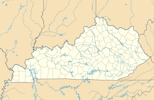 Weed Location within the state of Kentucky  Weed Weed (the United States) | |
| Coordinates: 37°2′19″N 85°28′17″W | |
| Country | United States |
| State | Kentucky |
| County | Adair |
| Elevation | 1,043 ft (318 m) |
| Time zone | UTC-6 (Central (CST)) |
| • Summer (DST) | UTC-5 (CDT) |
| GNIS feature ID | 509331 |
The origin of the name "Weed" is obscure.[2]
References
- U.S. Geological Survey Geographic Names Information System: Weed, Kentucky
- Moyer, Armond; Moyer, Winifred (1958). The origins of unusual place-names. Keystone Pub. Associates. pp. 141–143.
Municipalities and communities of Adair County, Kentucky, United States | ||
|---|---|---|
| City | 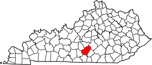 Location of Adair County, Kentucky | |
| Unincorporated communities |
| |
| Footnotes | ‡This populated place also has portions in an adjacent county or counties. | |
| ||
This article is issued from Wikipedia. The text is licensed under Creative Commons - Attribution - Sharealike. Additional terms may apply for the media files.