Wellington, Menifee County, Kentucky
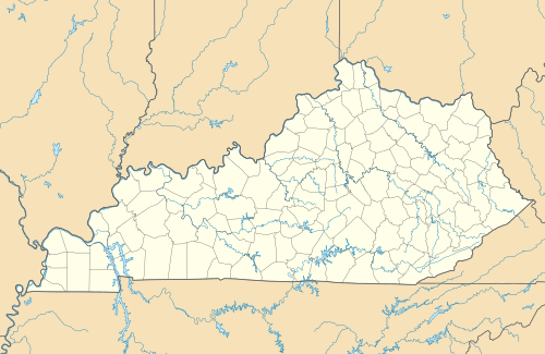
Wellington is an unincorporated community in Menifee County, Kentucky, United States. It lies along U.S. Route 460 and Kentucky Route 1693 southeast of the city of Frenchburg, the county seat of Menifee County.[1] Its elevation is 1,194 feet (364 m).[2] Although it is unincorporated, it has a post office, with the ZIP code of 40387.[3]
Wellington | |
|---|---|
 Wellington Location within the state of Kentucky  Wellington Wellington (the United States) | |
| Coordinates: 37°54′52″N 83°30′43″W | |
| Country | United States |
| State | Kentucky |
| County | Menifee |
| Elevation | 1,194 ft (364 m) |
| Time zone | UTC-5 (Eastern (EST)) |
| • Summer (DST) | UTC-4 (EDT) |
| ZIP codes | 40387 |
| GNIS feature ID | 516267 |
Wellington is part of the Mount Sterling Micropolitan Statistical Area.
History
On March 2, 2012, a tornado struck Wellington and the nearby city of West Liberty.
References
- Rand McNally. The Road Atlas '06. Chicago: Rand McNally, 2006, p. 43.
- U.S. Geological Survey Geographic Names Information System: Wellington, Menifee County, Kentucky, Geographic Names Information System, 1979-09-20. Accessed 2008-01-03.
- Zip Code Lookup
Municipalities and communities of Menifee County, Kentucky, United States | ||
|---|---|---|
| City | 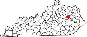 Location of Menifee County, Kentucky | |
| Unincorporated communities | ||
| ||
This article is issued from Wikipedia. The text is licensed under Creative Commons - Attribution - Sharealike. Additional terms may apply for the media files.
