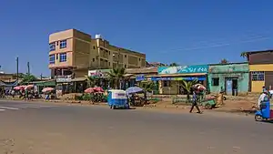
Wereta
Wereta (also transliterated as Woreta) is a town in northern Ethiopia. Located in the Debub Gondar Zone of the Amhara Region, east of Lake Tana and south of Addis Zemen, this town has a latitude and longitude of 11°55′N 37°42′E with an elevation of 1828 meters above sea level. It is the administrative center of Fogera woreda.
Wereta | |
|---|---|
 | |
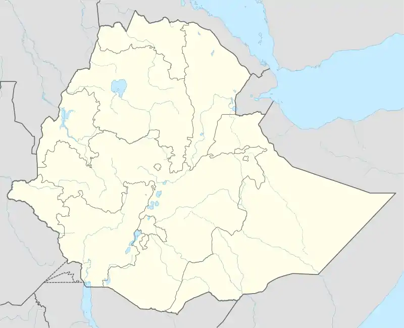 Wereta Location within Ethiopia | |
| Coordinates: 11°55′N 37°42′E | |
| Country | Ethiopia |
| Region | Amhara |
| Zone | Debub Gondar Zone |
| Elevation | 1,828 m (5,997 ft) |
| Population (2005) | |
| • Total | 26,317 |
| Time zone | UTC+3 (EAT) |
Telephone service had reached Wereta by 1967, and as of 1978 the town has electrical service. In the 1990s, a new campus for the Wereta College of Agriculture was designed by National Consultants (chief architect Assefa Bekele), with a proposed budget of 60 million Birr.[1] Located on top of a hill next to the road to Bahir Dar, the college has a capacity of 2000 students and graduated 269 students in 2004.[2] Wereta have two elementary (Woreta elementary School called Goya and Dudemegn) and one high school & vocational schools.
History
Wereta appears in the Royal chronicles during the first reign of Emperor Tekle Giyorgis (1779-1784), as the place whence Ras Hailu Eshte fled after escaping imprisonment in Gondar.[3] Wereta was included as one of the stages of the Gondar-Boso trade route of the 1840s, located immediately south of the Reb River, according to a list compiled by Antoine Thomson d'Abbadie in his Geodesie d'Ethiopie.[4]
Demographics
Based on figures from the Central Statistical Agency in 2005, Wereta has an estimated total population of 26,317, of whom 13,044 were males and 13,273 were females.[5] The 1994 census reported this town had a total population of 15,181 of whom 6,863 were males and 8,313 were females.
Notes
- "Local History in Ethiopia" The Nordic Africa Institute website (accessed 20 December 2007)
- "Fogera Pilot Learning Site Diagnosis and Program Design" IPMS Information Resources Portal - Ethiopia (January 2005), p. 8 (accessed 10 March 2009)
- H. Weld Blundell, The Royal chronicle of Abyssinia, 1769-1840 (Cambridge: University Press, 1922), p. 336
- G.W.B. Huntingford, Historical Geography of Ethiopia from the first century AD to 1704 (London: British Academy, 1989), p. 255
- CSA 2005 National Statistics, Table B.4
External links