Whirily, Victoria
Whirily is a place and locality in the local government area of the Shire of Buloke, Victoria, Australia. Whirily post office opened on 1 October 1912 and was closed on 1 October 1913.[2]
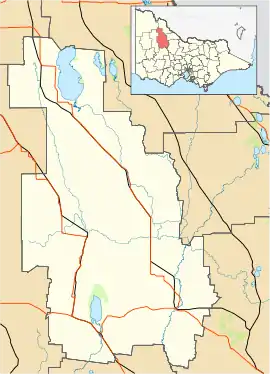
| Whirily Victoria | |||||||||||||||
|---|---|---|---|---|---|---|---|---|---|---|---|---|---|---|---|
 Whirily | |||||||||||||||
| Coordinates | 35°54′07″S 142°58′51″E | ||||||||||||||
| Population | 30 (2016 census)[1] | ||||||||||||||
| Postcode(s) | 3483 | ||||||||||||||
| Elevation | 94.88 m (311 ft) | ||||||||||||||
| Location | |||||||||||||||
| LGA(s) | Shire of Buloke | ||||||||||||||
| State electorate(s) | Mildura | ||||||||||||||
| Federal Division(s) | Mallee | ||||||||||||||
| |||||||||||||||
References
- Australian Bureau of Statistics (27 June 2017). "Whirily (State Suburb)". 2016 Census QuickStats. Retrieved 12 September 2020.

- Premier Postal History, Post Office List, retrieved 11 April 2008
This article is issued from Wikipedia. The text is licensed under Creative Commons - Attribution - Sharealike. Additional terms may apply for the media files.