Wickersham Dome (Yukon–Koyukuk Census Area)
Wickersham Dome is a summit in the Yukon–Koyukuk Census Area, Alaska, located 27 miles northwest of Fairbanks near the Elliott Highway. It is named after Wickersham Creek, which heads on the southeast slope of Wickersham Dome.[1] The creek itself is named for James Wickersham.[2]
| Wickersham Dome | |
|---|---|
 Wickersham Dome, 2019 | |
| Highest point | |
| Elevation | 963 m (3,159 ft) |
| Coordinates | 65.2172222°N 148.0566667°W |
| Geography | |
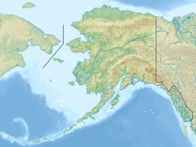 Wickersham Dome Location of Wickersham Dome in Alaska | |
| Country | United States |
| State | Alaska |
| Census area | Yukon–Koyukuk Census Area |
It is a popular hiking destination in the White Mountains National Recreation Area.[3]
References

View from the summit of Wickersham Dome, 2020
- "GNIS Detail - Wickersham Dome". geonames.usgs.gov. Retrieved 18 January 2021.
- "GNIS Detail - Wickersham Creek". geonames.usgs.gov. Retrieved 18 January 2021.
- "Wickersham Dome Trail". ALASKA.ORG. Retrieved 18 January 2021.
This article is issued from Wikipedia. The text is licensed under Creative Commons - Attribution - Sharealike. Additional terms may apply for the media files.
