Witikon
It was formerly a municipality of its own, having been incorporated into Zürich in 1934.
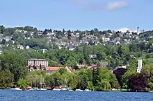
Witikon and Zürichhorn in the foreground, as seen from Wollishofen (May 2015)
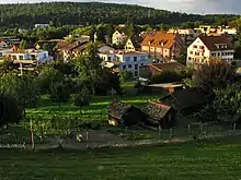
Witikon as seen from Alte Kirche Witikon (August 2009)
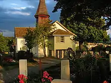
Alte Kirche (old church) and the small hilltop cemetery (August 2009)
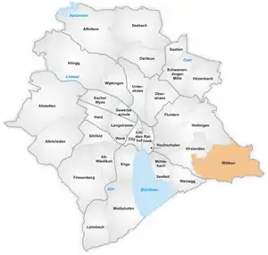
The quarter of Witikon in Zürich.
Witikon is a quarter in the district 7 in Zürich.
The quarter has a population of 9,864 distributed on an area of 4.93 km2 (1.90 sq mi).
Witikon is located between the southwestern flank of the Adlisberg and the western flank of the Öschbrig.[1]
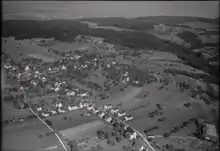
Aerial view (1949)
References
- "Waldschule für Waldbesitzer im eigenen Wald" (PDF). Quartieranzeiger für Witikon (in German). 38 (4): 15. May 2011. Retrieved 11 February 2016.
External links
![]() Media related to Witikon at Wikimedia Commons
Media related to Witikon at Wikimedia Commons
This article is issued from Wikipedia. The text is licensed under Creative Commons - Attribution - Sharealike. Additional terms may apply for the media files.
