Wittsburg, Arkansas
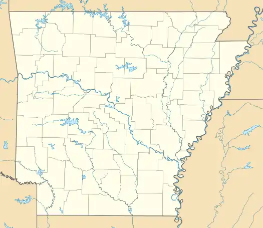
Wittsburg is an unincorporated community in Cross County, Arkansas, United States. Wittsburg is located on the St. Francis River and at the southern terminus of Arkansas Highway 163, 4.8 miles (7.7 km) east of Wynne.[2]
Wittsburg, Arkansas | |
|---|---|
 Wittsburg  Wittsburg | |
| Coordinates: 35°13′08″N 90°42′06″W | |
| Country | |
| State | |
| County | Cross |
| Elevation | 79 m (259 ft) |
| Time zone | UTC-6 (Central (CST)) |
| • Summer (DST) | UTC-5 (CDT) |
| Area code(s) | 870 |
| GNIS feature ID | 58904[1] |
Wittsburg was created as a port city as the northernmost navigable point for steamboats on the St. Francis River. Cotton was shipped from the surrounding areas and stored in warehouses at Wittsburg for shipment and sale downstream in the big cotton cities like Memphis, Tennessee or New Orleans, Louisiana.
When Cross County was created in 1862 during the Civil War, Wittsburg was a thriving commercial and community hub in the region. Wittsburg was designated as the first county seat, but county business was actually conducted in Pineville due to threats from Union forces in the area.[3]
Notable person
- Thomas H. McCray, Confederate Army officer lived here after the war
See also
References
- "Wittsburg". Geographic Names Information System. United States Geological Survey.
- Cross County, Arkansas General Highway Map (PDF) (Map). Arkansas State Highway and Transportation Department. 2007. Retrieved December 3, 2012.
- Dillard, Tom (July 3, 2011). "A-Cross the state". Arkansas Democrat-Gazette. Little Rock: WEHCO Media. p. 76 – via NewsBank.
Municipalities and communities of Cross County, Arkansas, United States | ||
|---|---|---|
| Cities | 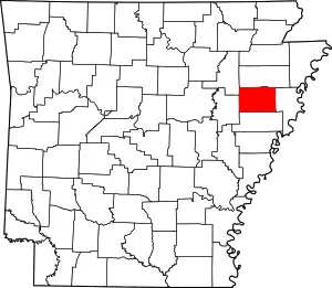 Map of Arkansas highlighting Cross County | |
| Unincorporated communities |
| |
| Ghost towns |
| |
| Footnotes | ‡This populated place also has portions in an adjacent county or counties | |
| ||