Woolsthorpe, Victoria
Woolsthorpe (/wʊlsˈθɔːrp/) is a small town in the Shire of Moyne, Victoria, Australia. It is situated at the intersection of the Woolsthorpe-Heywood, Koroit-Woolsthorpe, and Warrnambool-Caramut Roads, on the banks of Spring Creek. There is a local pub, the National Hotel. At the 2016 census, Woolsthorpe had a population of 422,[1] down from 694 in 2006.[2]
| Woolsthorpe Victoria | |
|---|---|
 Woolsthorpe | |
| Coordinates | 38°12′S 142°26′E |
| Population | 422 (2016 census)[1] |
| Postcode(s) | 3276 |
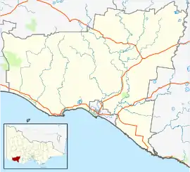
| Location |
|
| LGA(s) | Shire of Moyne |
The nearest large town is Warrnambool 26.5 kilometres further south.
Woolsthorpe Post Office opened on 6 August 1861.[3]
The local agriculture is primarily based on sheep and cattle.
Traditional ownership
The formally recognised traditional owners for the area in which Woolsthorpe sits are groups within the Eastern Maar peoples,[4] who are represented by the Eastern Maar Aboriginal Corporation (EMAC).[5]
References
- Australian Bureau of Statistics (27 June 2017). "Woolsthorpe (State Suburb)". 2016 Census QuickStats. Retrieved 31 October 2010.

- Australian Bureau of Statistics (25 October 2007). "Woolsthorpe (State Suburb)". 2006 Census QuickStats. Retrieved 31 October 2010.
- Premier Postal History, Post Office List, retrieved 11 April 2008
- "Map of formally recognised traditional owners". Aboriginal Victoria. Retrieved 2 June 2020.
- "Eastern Maar Aboriginal Corporation". Eastern Maar Aboriginal Corporation. Retrieved 2 June 2020.
This article is issued from Wikipedia. The text is licensed under Creative Commons - Attribution - Sharealike. Additional terms may apply for the media files.