Yankee Fork Salmon River
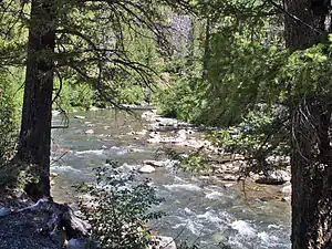
The Yankee Fork Salmon River is a 28-mile (45 km)[2] tributary of the Salmon River in Custer County, Idaho in the United States. It originates in the Salmon River Mountains, in the Salmon-Challis National Forest, and flows south to its confluence at Sunbeam, about 10 miles (16 km) east of Stanley.
| Yankee Fork | |
|---|---|
 Yankee Fork Salmon River | |
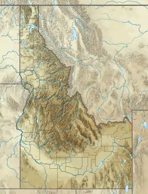 Location of the mouth of Yankee Fork Salmon River in Idaho  Yankee Fork Salmon River (the United States) | |
| Location | |
| Country | United States |
| State | Idaho |
| Physical characteristics | |
| Source | Salmon River Mountains |
| • location | Salmon–Challis National Forest |
| • coordinates | 44°30′59″N 114°36′17″W[1] |
| • elevation | 8,600 ft (2,600 m) |
| Mouth | Salmon River |
• location | Near Stanley |
• coordinates | 44°16′11″N 114°44′04″W[1] |
• elevation | 5,915 ft (1,803 m) |
| Length | 28 mi (45 km)[2] |
| Basin size | 189 sq mi (490 km2)[3] |
| Discharge | |
| • location | near Clayton, about 0.5 mi (0.80 km) from the mouth[3] |
| • average | 199 cu ft/s (5.6 m3/s)[3] |
| • minimum | 10 cu ft/s (0.28 m3/s) |
| • maximum | 3,360 cu ft/s (95 m3/s) |
See also
References
- "Yankee Fork". Geographic Names Information System. United States Geological Survey. 1979-06-21. Retrieved 2013-12-15.
- "USGS National Atlas Streamer". United States Geological Survey. Retrieved 2013-12-15.
- "USGS Gage #13296000 on the Salmon River near Clayton, ID" (PDF). National Water Information System. United States Geological Survey. 1921–2012. Retrieved 2013-12-15.
This article is issued from Wikipedia. The text is licensed under Creative Commons - Attribution - Sharealike. Additional terms may apply for the media files.