Yathkyed Lake
Yathkyed Lake (variant: Haecoligua; meaning: "white swan")[2] is a lake in Kivalliq Region, Nunavut, Canada. Located between Angikuni Lake and Forde Lake, it is one of several lakes on the Kazan River.
| Yathkyed Lake | |
|---|---|
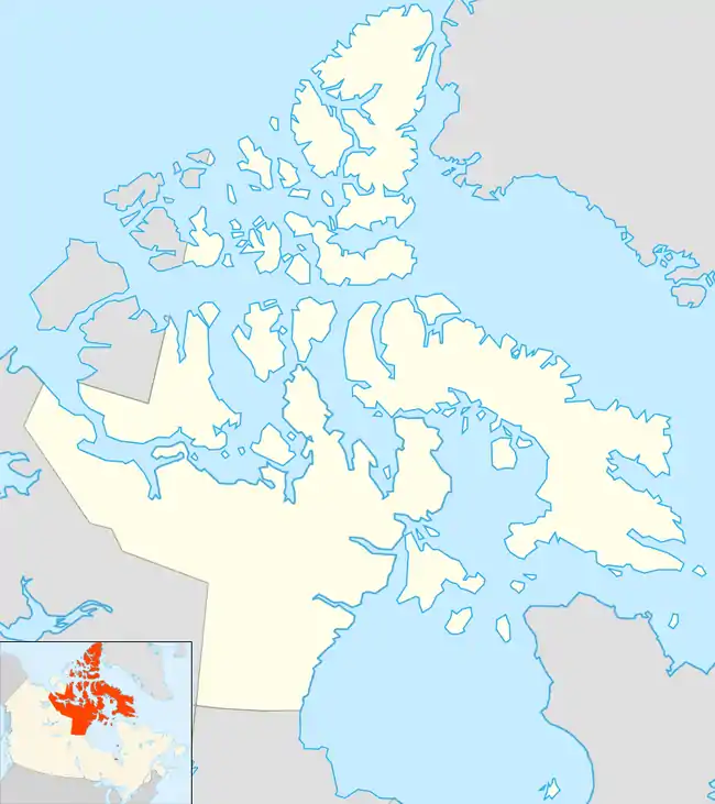 Yathkyed Lake Location in Nunavut | |
| Location | Kivalliq Region, Nunavut |
| Coordinates | 62°43′N 97°55′W |
| Primary inflows | Kazan River |
| Primary outflows | Kazan River |
| Basin countries | Canada |
| Max. length | 72 km (45 mi) |
| Max. width | 34 km (21 mi) |
| Surface area | 1,449 km2 (559 sq mi) |
| Surface elevation | 140 m (460 ft) |
| Settlements | uninhabited |
| References | [1] |
Yathkyed lake was named by Sayisi Dene, historical barren-ground caribou hunters of the area. Caribou Inuit artifacts have also been found here.
Geography
It is part of the Hearne Domain, Western Churchill province of the Churchill craton, which is the northwest section of the Canadian Shield.
According to the Atlas of Canada the geographical centre of the country lies just south of the lake at 62°24′N 096°28′W.[3]
Minerals
The Yathkyed Sedimentary Basin is notable for its uranium/copper/molybdenum deposits. The Kaminak Gold Corporation has a mining stake in the area, owning approximately 200,000 acres (81,000 ha).[4]
References
- "Principal lakes, elevation and area, by province and territory". Statistics Canada. 2005-02-02. Retrieved 2015-03-11.
- "SEQUEL, Annual Report year ended September 30, 1926". Baker Lake, Nunavut: Inuit Heritage Centre. Archived from the original on 2013-01-15. Retrieved 2008-02-12.
- "Frequently Asked Questions About Canada - Centre of Canada". Archived from the original on 2013-01-22. Retrieved 2013-01-22.
- Kaminak Gold Corporation Press Release (May 2, 2007). "Kaminak Stakes Uranium-Copper-Molybdenum Prospects, Yathkyed Lake Area, Nunavut".
External links
| Kitikmeot Region | |
|---|---|
| Kivalliq Region | |
| Qikiqtaaluk Region | |